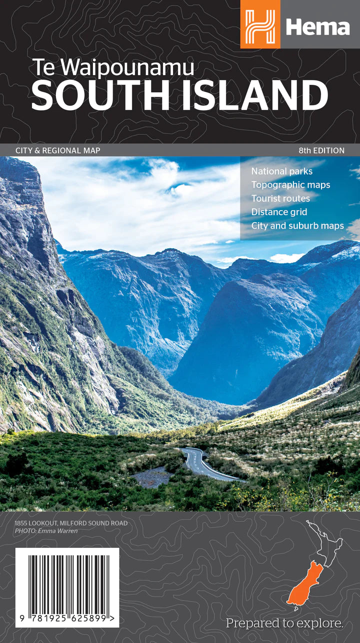
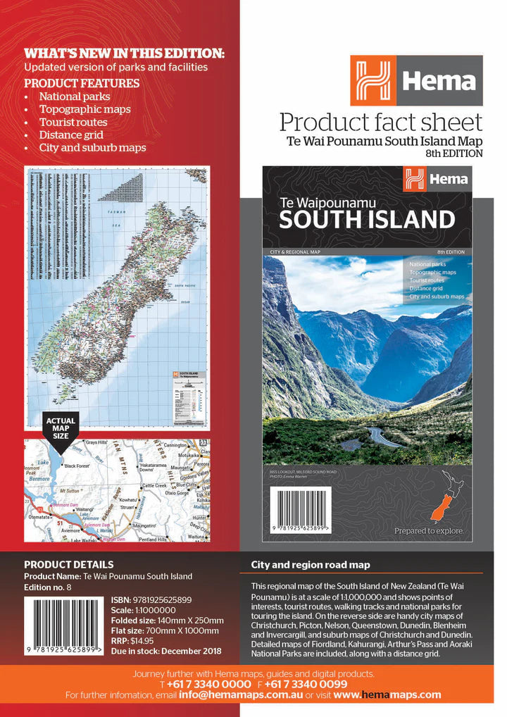
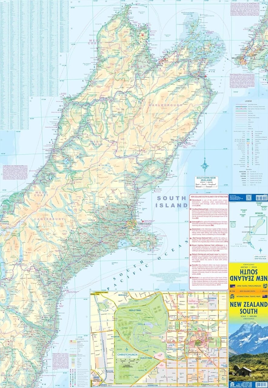
South Island of New Zealand Road Atlas: spiral-bound atlas in a practical 19 x 26 cm format, featuring 210 pages. It includes enlargements of the areas around major cities, city center maps with street indexes, a detailed index of localities, roads, tracks, and streets, as well as information on traffic regulations.
The main part of the atlas covers the South Island at 1:250,000, with a highly detailed representation of the road network, from highways to 4WD tracks.
Railway lines, ferry connections, local airfields, and landing strips are indicated. National parks and other protected areas are highlighted.
Symbols are used to identify numerous points of interest, sports and leisure facilities, wine regions, hot springs and thermal areas, campsites, as well as areas for campervans and caravans.
A selection of hiking trails is also indicated, including the New Zealand Walkway and the Te Araroa Walkway.
Relief is represented through effective shading, spot heights, and the names of the main mountain ranges, with specific coloring for protected areas.