Travel Map - Western Balkans | ITM

Price
Regular price CHF 1300
Regular price Sale price CHF 1300
/
  • Shipped within 24 to 48h from our warehouse in France
  • Customs duties may apply on import to your country
  • Free returns (*)
  • Real-time stock levels
  • Cartovia Guarantee – Delivery issue?
    We resend immediately upon receiving a simple photo.
  • In stock, ready to ship
  • Backordered, shipping soon
Tax included.

Frequently bought together:

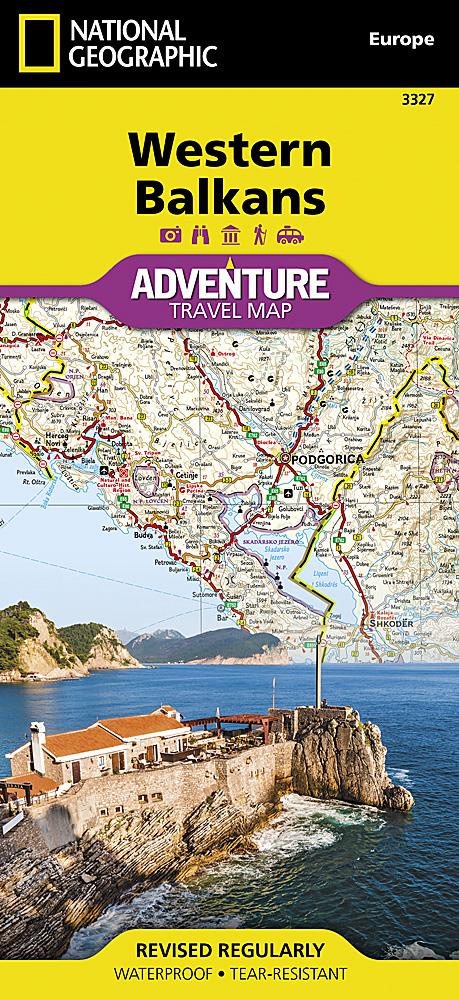
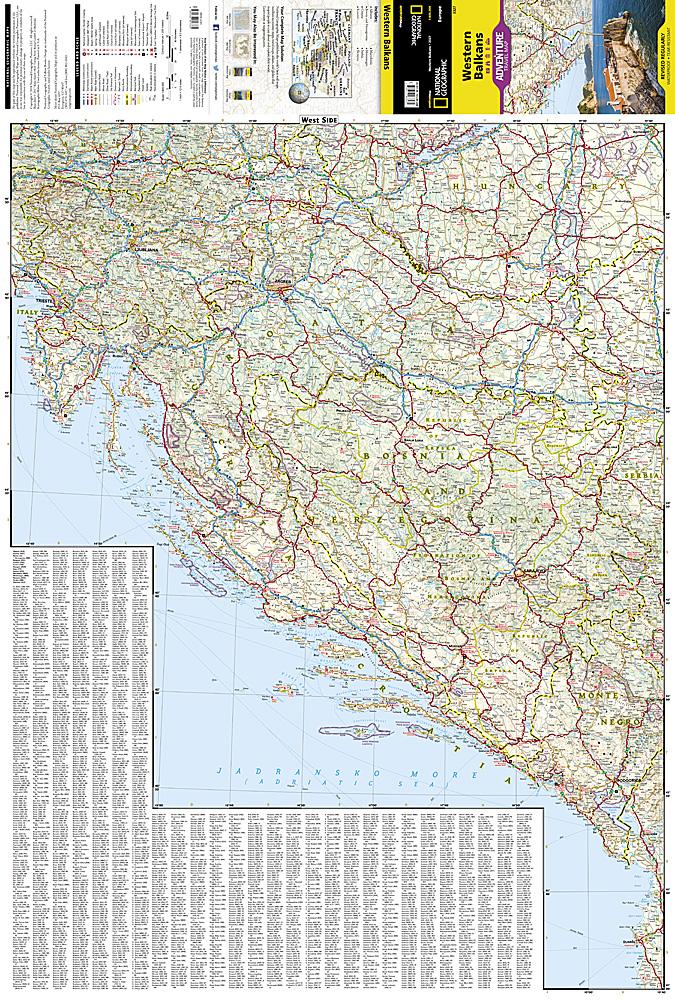
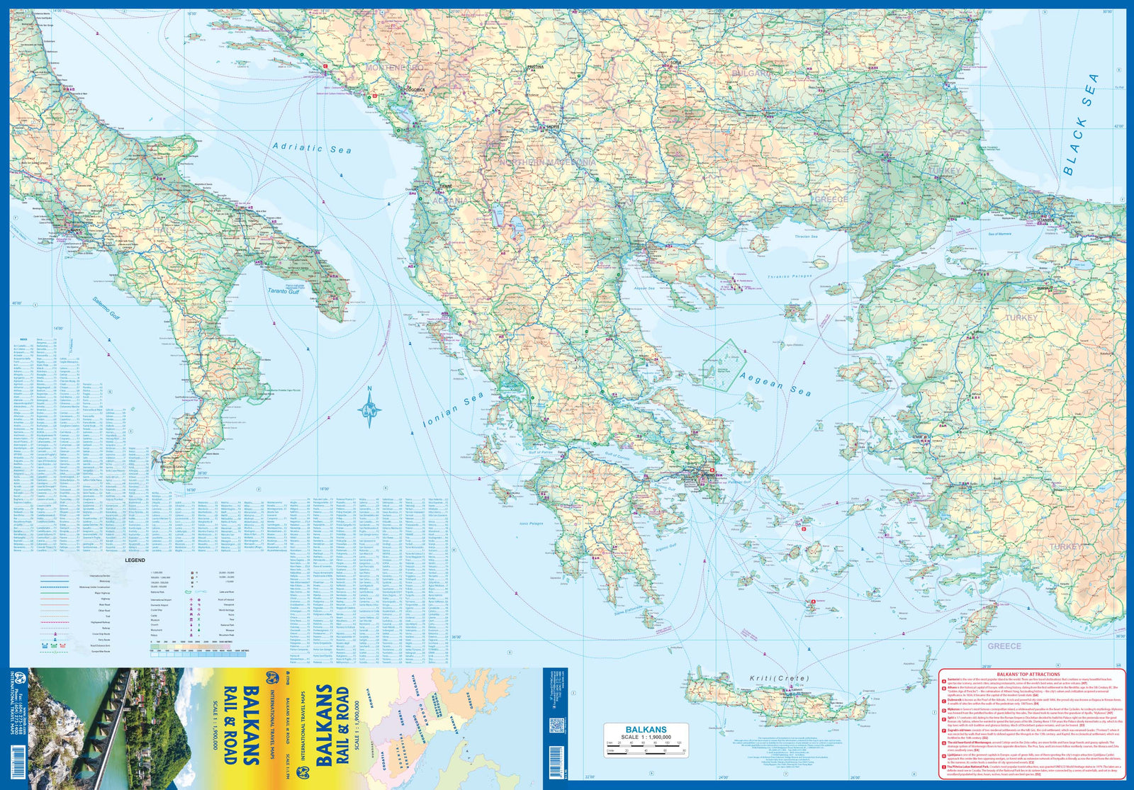
This detailed map of the Western Balkans covers Slovenia, Croatia, Bosnia and Herzegovina, Serbia, Montenegro, Kosovo and North Macedonia, as well as parts of neighbouring countries.

  • Side 1: Adriatic coastal region, ferry routes to Italy and main routes toward Greece.
  • Side 2: mountainous interior, from Lake Balaton to the Greek border and Thessaloniki.
  • Cities shown include Ljubljana, Zagreb, Split, Dubrovnik, Belgrade, Sarajevo, Pristina, Podgorica, Tirana and Skopje.
  • National parks are shown.


ISBN/EAN : 9781771299022
Publication date: 2025
Scale: 1/900,000 (1 cm = 9 km)
Printed sides: both sides
Folded dimensions: 24.6 x 10.3 x 0.5cm
Unfolded dimensions: 100 x 68cm
Language(s): English
Weight: 54 g