Hiking map - Ben Nevis, Mamores & Grey Corries XT25 | Harvey Maps - Superwalker maps

Price
Regular price CHF 2300
Regular price Sale price CHF 2300
/
  • In stock in France and in the UK
    Shipped within 24 to 48h from the warehouse closest to you
  • Customs duties may apply on import to your country
  • Free returns (*)
  • Real-time stock levels
  • Cartovia Guarantee – Delivery issue?
    We resend immediately upon receiving a simple photo.
  • In stock, ready to ship
  • Backordered, shipping soon
Tax included.

Frequently bought together:

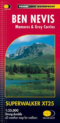
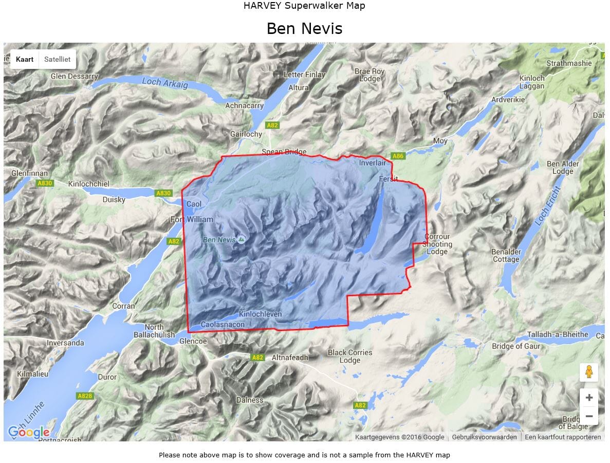
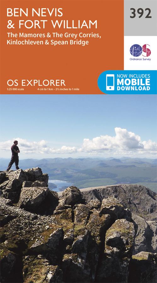
This map by Harvey Maps covers Ben Nevis, Mamores & Grey Corries.

Scale: 1:25,000.

Detailed map for hillwalkers of Ben Nevis, the Grey Corries and the Mamores. It includes Fort William, Spean Bridge and Kinlochleven.

Enlargement of the summit of Ben Nevis showing the bad visibility descent route.

Includes 23 Munros and 6 Corbetts.

  • Tough, light, durable and 100% waterproof.
  • Opens directly to either side of the sheet.
  • Easy to refold.

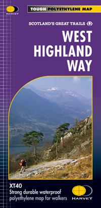
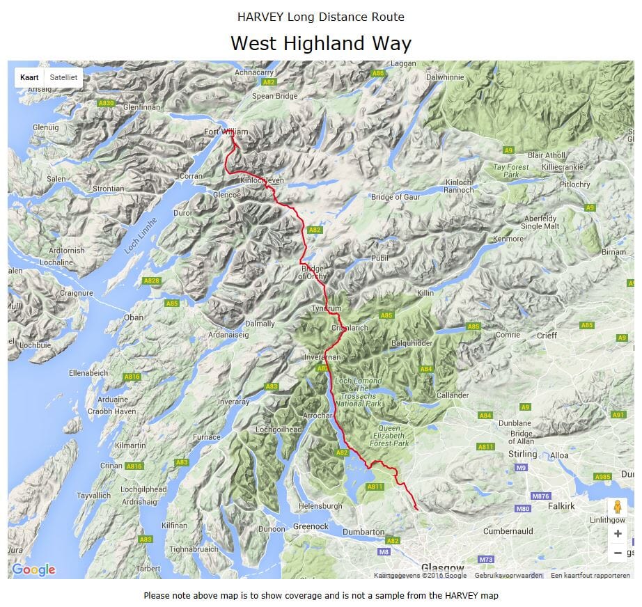
The collection offers maps of regions in England, Wales and Scotland.


ISBN/EAN : 9781851374021
Publication date: 2022
Scale: 1/25,000 (1cm=250m)
Printed sides: both sides
Folded dimensions: 11.6 x 24.3cm
Unfolded dimensions: 48.6 x 140cm
Language(s): English
Weight: 70 g