Washington Wall Map, Tubed | National Geographic
- Free returns (*)
- Real-time stock levels
-
Cartovia Guarantee – Delivery issue?
We resend immediately upon receiving a simple photo.
📦 Hard-to-find maps - worldwide shipping
📦 Hard-to-find maps & travel guides - worldwide shipping, 30-day returns
✅ Latest editions guaranteed — since 2010
✅ Latest editions guaranteed - 180,000+ travellers equipped since 2010
🗺️ 2027 trips: 20,000+ maps in stock
🗺️ Planning your 2027 trips: 20,000+ maps and travel guides in stock Details →
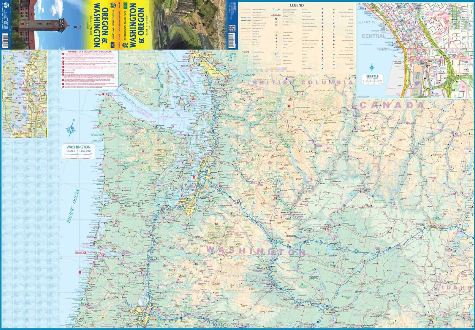
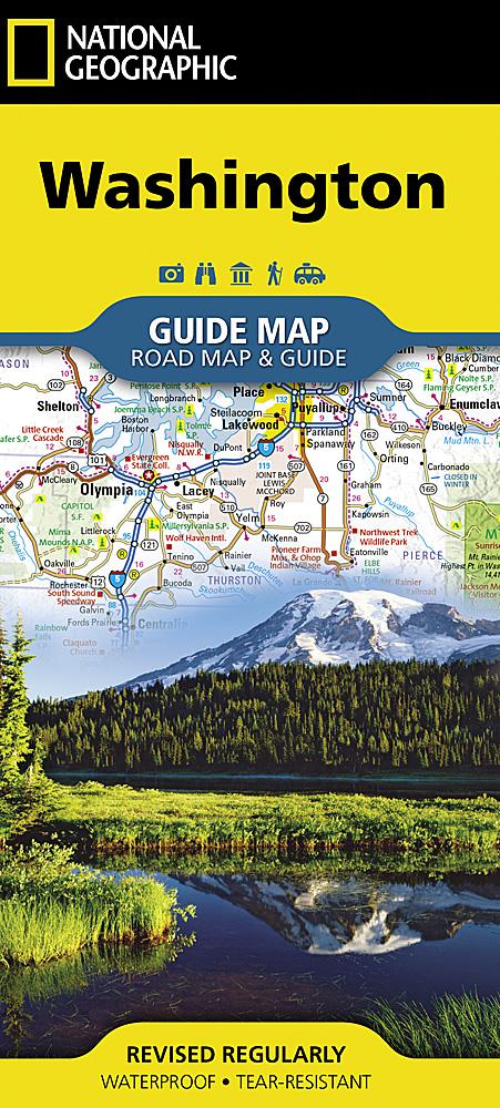
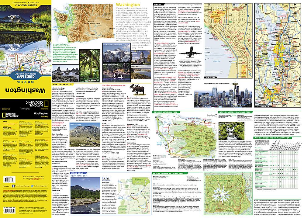
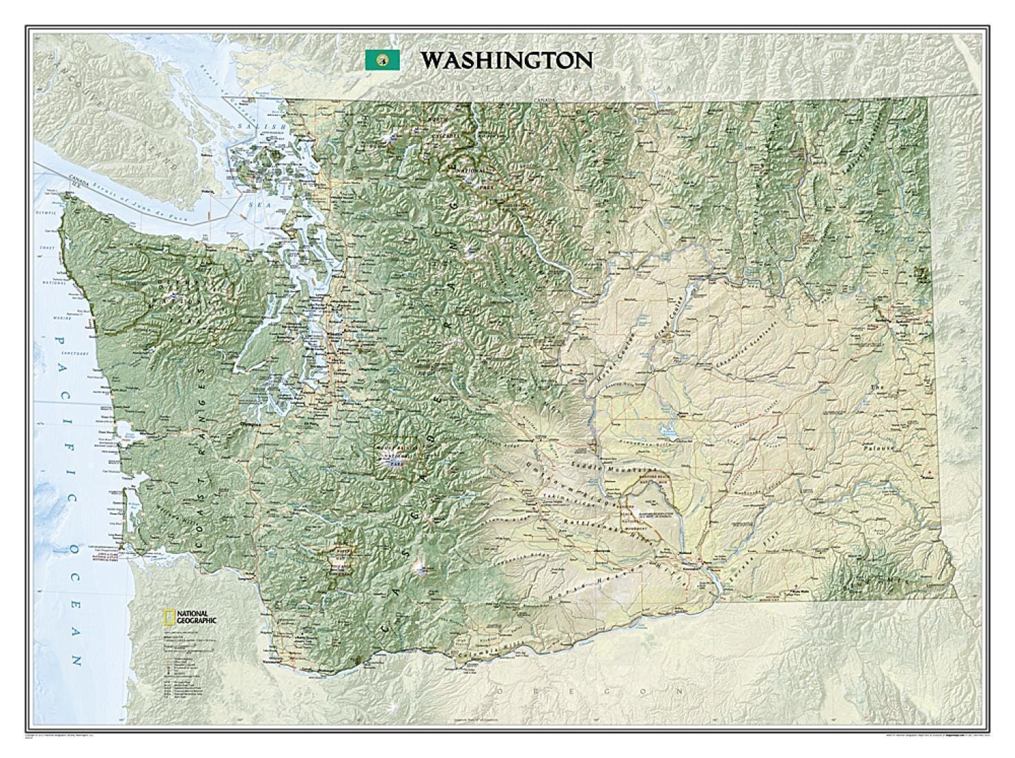
This Washington State wall map by National Geographic highlights the physical geography of the Evergreen State, from the wooded islands of Puget Sound to the snow-covered Cascades and the agricultural basins of the Columbia and Snake rivers.
Shaded relief and colour depict mountain ranges, forests, valleys and other landforms. The map locates peaks, islands, lakes, rivers, reservoirs, cities, towns, airports, national and state parks and military bases. The Pacific Crest Trail is also shown.
The map is supplied in a 2-inch-diameter clear plastic tube with a decorative label.
ISBN/EAN : 9781597752497
Publication date: 2013
Unfolded dimensions: 27.17 inches x 37.4 inches (69 x 95 cm)
Language(s): English
Weight:
230 g
This map was perfect, exactly as described.
The exclusive newsletter for travel and discovery enthusiasts!