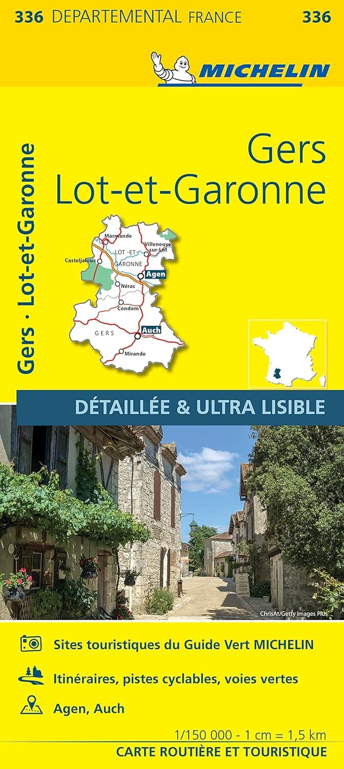
The essential hiking map! These highly accurate topographical maps contain every detail of the terrain: communication routes down to the smallest path, constructions down to a shed, woods, isolated trees, rivers, springs... Not to mention the representation of relief by contour lines.
Towns covered: Pujols, Grateloup-Saint-Gayrand, Aiguillon, Saint-Salvy, Monclar, Verteuil-d'Agenais, Castelmoron-sur-Lot, Castella, Cours, Laugnac, Madaillan, La Croix-Blanche, Prayssas, Saint-Étienne-de-Fougères, Bias, Sembas, Montpezat, Allez-et-Cazeneuve, Casseneuil, Pailloles
Places to discover: Château de Favols, Prehistoric Park, Fontirou Caves, Lastournelles Caves