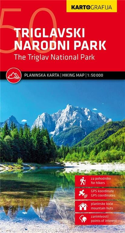
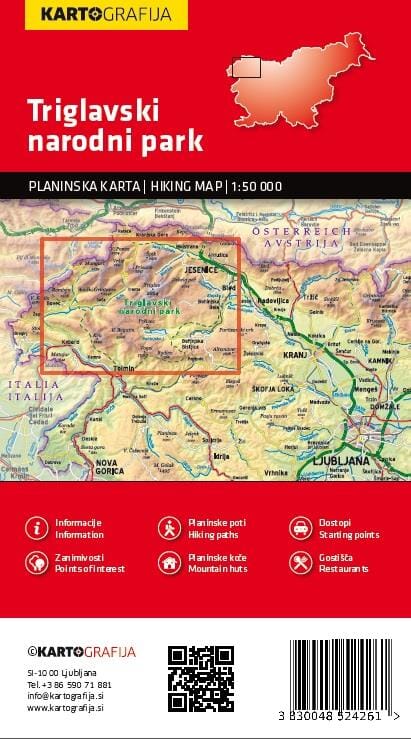
Hiking map - Triglav National Park - Kranjska Gora, Planica, Bled (Slovenia) No. WK5141 | Freytag & Berndt

Price
Regular price $2200
Regular price Sale price $2200
/
  • In stock in France and in the UK
    Shipped within 24 to 48h from the warehouse closest to you
  • All-inclusive price: customs duties are already paid by Cartovia
  • Free returns (*)
  • Real-time stock levels
  • Cartovia Guarantee – Delivery issue?
    We resend immediately upon receiving a simple photo.
  • In stock, ready to ship
  • Backordered, shipping soon
Tax included.

Frequently bought together:

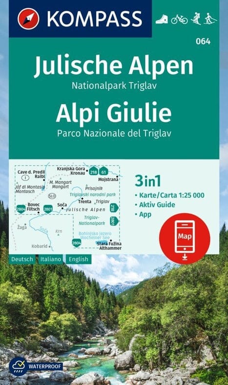
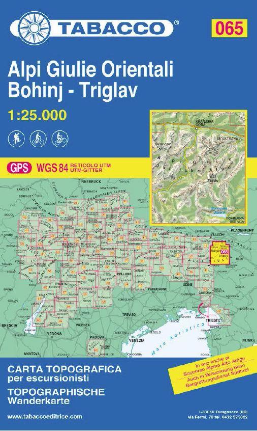
Explore Triglav National Park, Slovenia's only national park, with this Freytag & Berndt hiking and leisure map at 1:35,000 scale. Ideal for hiking, mountain biking, cycling, or winter activities, it offers precise mapping and extensive tourist information to plan your excursions in the Julian Alps.

Map Features

  • Scale 1:35,000 (1 cm = 350 m)
  • Hiking trails and long-distance hiking routes
  • Cycle paths and mountain bike routes
  • Ski touring routes and cross-country ski trails
  • Tourist information
  • GPS coordinates
  • Double-sided printed map
  • Dimensions: approximately 82 × 78 cm

Region Covered

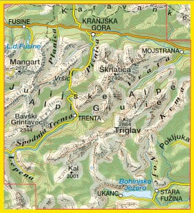
This map covers Triglav National Park, in the heart of the Julian Alps in northwestern Slovenia. It includes the Triglav massif (2,864 m), the highest peak in the country, as well as the main hiking routes, alpine valleys, and plateaus of this protected area.


ISBN/EAN : 9783707925234
Publication date: 2026
Scale: 1/35,000 (1 cm = 350 m)
Folded dimensions: 20.5 x 12.5cm
Unfolded dimensions: 82 x 78 cm
Language(s): German English
Weight: 85 g