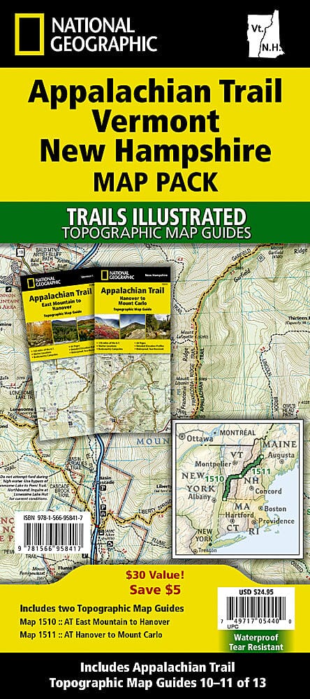
White Mountains National Forest (New Hampshire) Trail Maps.
The White Mountain National Forest Map Pack is the perfect companion for anyone planning a trip to the stunning White Mountains of New Hampshire.
The White Mountains are famous for their rugged peaks and breathtaking beauty. This map pack combines two maps that cover the White Mountain National Forest in wonderful detail. The entire New Hampshire section of the Appalachian Trail is featured on these maps. Franconia Notch and Crawford Notch State Parks are depicted, as well as Mount Washington, known for some of the most extreme weather in the country. Also listed are hiking trails with mileage between junctions, as well as points of interest such as campgrounds, visitor centers, observation towers, and more.
The White Mountain National Forest Map Pack includes:
Map 740: White Mountain National Forest West [Franconia Notch, Lincoln]
Map 741: White Mountain National Forest East [Presidential Range, Gorham]
A complete UTM grid is printed on the map to aid GPS navigation.
These trail maps are waterproof and tear-resistant.
ISBN/EAN : 9781597752244
Publication date: 2020
Scale: 1/70,000 (1 cm = 700 m)
Printed sides: both sides
Folded dimensions: 9.45 inches x 4.33 inches (24 x 11 cm)
Unfolded dimensions: 25.2 x 37.2 inches (64 x 94.5 cm)
Waterproof: oui
Tear resistant: oui
Language(s): English
Weight:
220 g