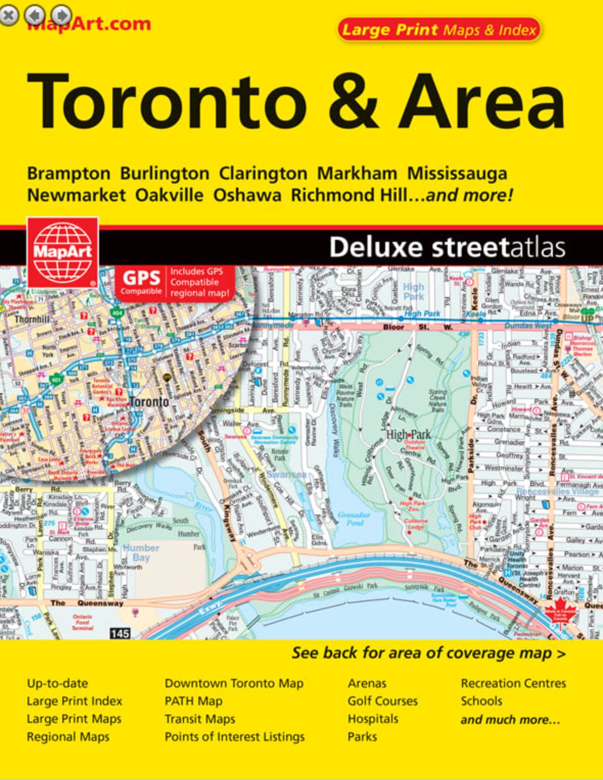
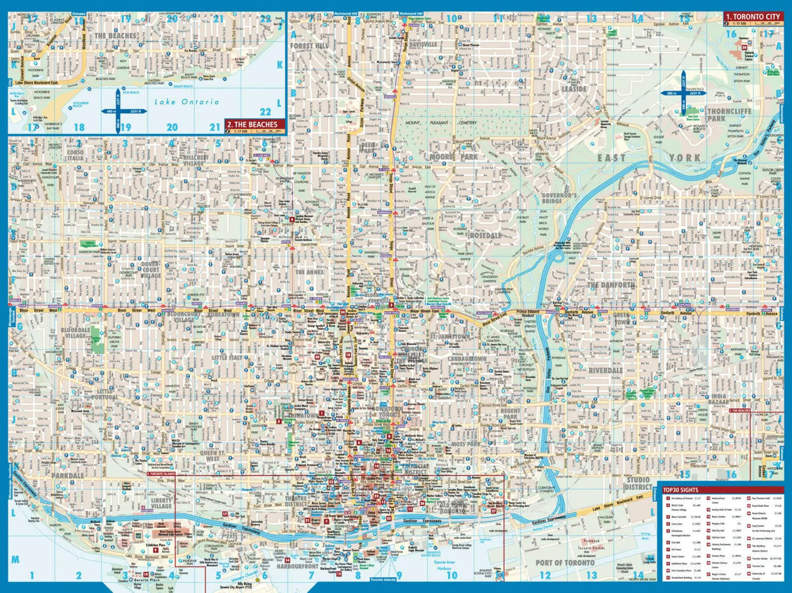
This Toronto & Area street atlas includes new content pages, expanded large-print downtown coverage, a new attractions index, a large-print PATH map and more than 1,000 additional streets in the Greater Toronto Area.
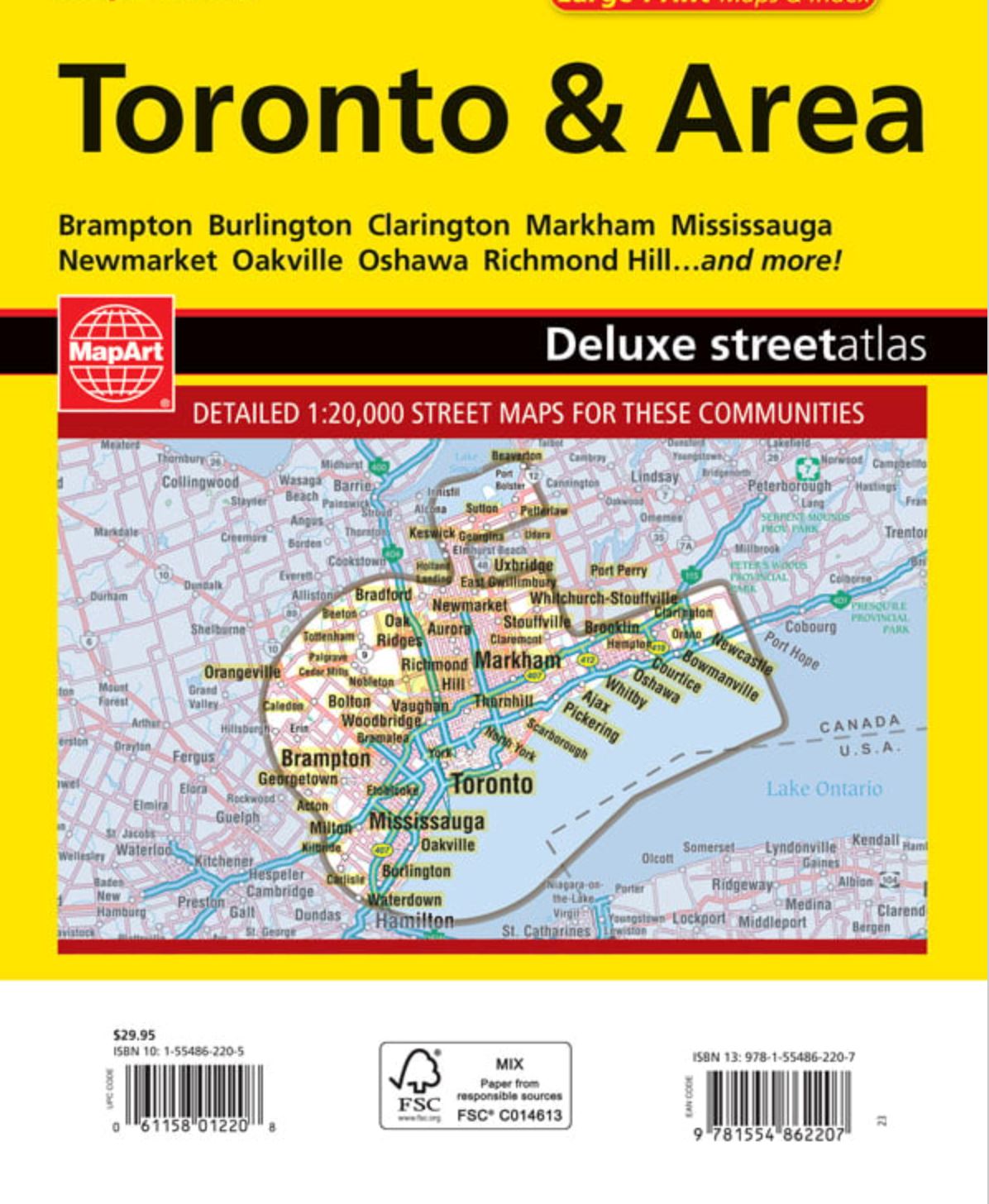
Designed for easy reading from cover to cover, it offers comprehensive GTA coverage from Burlington in the west to Newcastle in the east, extending north to Barrie.
Communities covered are Acton, Ajax, Alliston, Angus, Aurora, Barrie, Beaverton, Beeton, Bolton, Bowmanville, Bradford, Brampton, Brooklin, Burlington, Caledon East, Caledon Village, Carlisle, Cedar Mills, Centreville/Albion, Claremont, Clarington, Cookstown, Courtice, East Gwillimbury, Georgetown, Georgina, Hampton, Holland Landing, Innisfil, Keswick, Kilbride, King, King City, Kleinburg, Markham, Midhurst, Milton, Mississauga, Mount Albert, Newcastle, Newmarket, Nobleton, Oak Ridges, Oakville, Orangeville, Orono, Oshawa, Palgrave, Pefferlaw, Pickering, Port Perry, Pottageville, Richmond Hill, Schomberg, Solina, Springwater, Stouffville, Sutton, Thornhill, Toronto, Tottenham, Udora, Unionville, Uxbridge, Vandorf, Vaughan, Waterdown, Whitby, Whitchurch-Stouffville and Woodbridge.