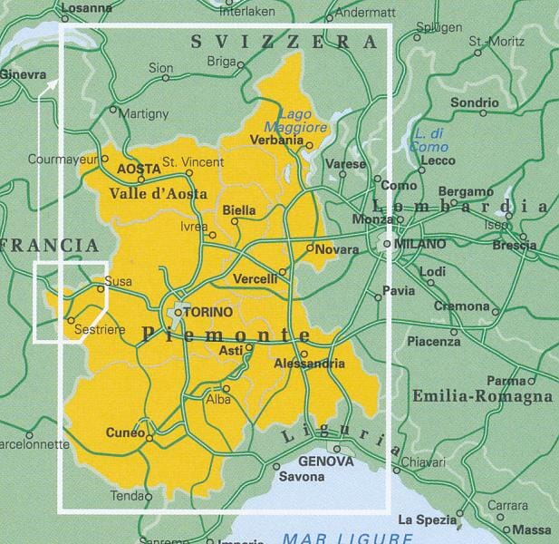
Hiking map No. 105 - Sestriere, Claviere, Prali, Chisone Valley, Susa Valley, Germanasca Valley and Thuras Valley | Istituto Geografico Centrale

Price
Regular price $2900
Regular price Sale price $2900
/
  • Ships within 5 to 8 working days
    (Currently in transit to our warehouse in France)
  • Cartovia Guarantee – Delivery issue?
    We resend immediately upon receiving a simple photo.
Tax included.

Often purchased together:

This highly detailed topographic hiking map covers popular trekking areas along the Italian-French-Swiss border, including Sestriere, Claviere, Prali, Val Chisone, Val di Susa, Val Germanasca and Valle del Thuras.

A wealth of hiking information is overlaid on the map, including trails, overnight huts, tourist huts, caverns, caves and more. The legend is multilingual, while the map itself is in Italian only. Contour interval: 25 metres.


ISBN/EAN : 9788896455579
Publication date: 2016
Scale: 1/25,000 (1cm=250m)
Folded dimensions: 12x22cm
Unfolded dimensions: 85 x 112cm
Language(s): French, English, German, Italian
Weight: 100 g