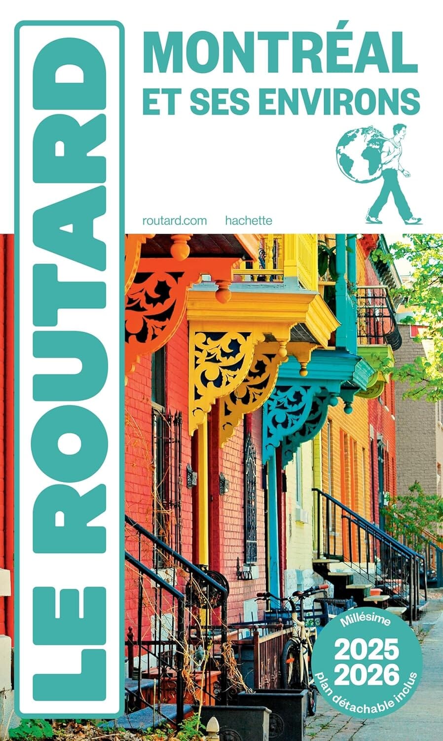
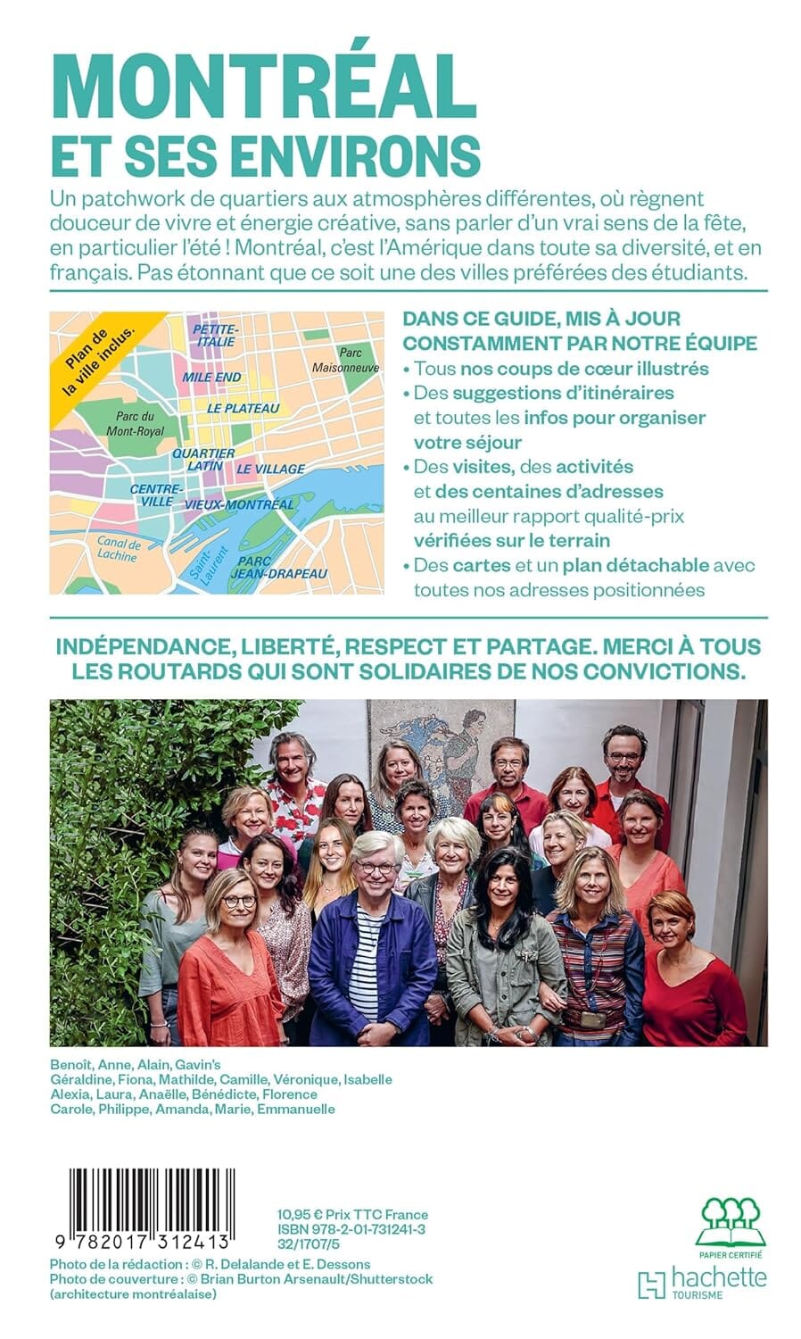
This map of Montreal published by GM Johnson covers the city of Montreal as well as a large number of municipalities and sectors on the island and its surroundings. It serves as a practical tool for navigating the Montreal metropolitan area and identifying the main urban sectors.
The map notably includes downtown Montreal as well as a map of Montreal and its surroundings.
Coverage area
Montreal and island sectors: Anjou, Baie-d’Urfé, Beaconsfield, Bout-de-l’Île, Dollard-des-Ormeaux, Dorval, Hampstead, Île-Bizard, Île-Dorval, Kirkland, Lachine, LaSalle, Mont-Royal, Montreal, Montreal East, Montreal North, Montreal West, Outremont, Pierrefonds, Pointe-Claire, Pointe-aux-Trembles, Rivière-des-Prairies, Roxboro, Saint-Laurent, Saint-Léonard, Saint-Pierre, Sainte-Anne-de-Bellevue, Sainte-Geneviève, Senneville, Verdun, West Island and Westmount.
Supplementary maps: downtown Montreal and map of Montreal and its surroundings.