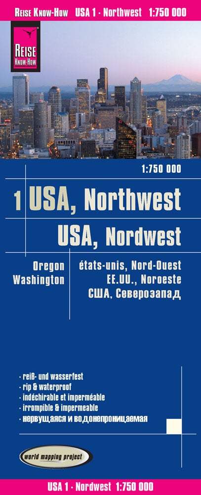
Livret de plans de ville - Washington | Rand McNally atlas Rand McNally Default Title

City map booklet - Washington | Rand McNally

Price
Regular price $1500
Regular price Sale price $1500
/
  • Shipped within 24 to 48h from our warehouse in the USA
  • All-inclusive price: customs duties are already paid by Cartovia
  • Free returns (*)
  • Real-time stock levels
  • Cartovia Guarantee – Delivery issue?
    We resend immediately upon receiving a simple photo.
  • Low stock - 2 items left
  • Backordered, shipping soon
Tax included.

Frequently bought together:

Rand McNally's Washington city map book is an atlas for travel in and around Washington, offering accuracy and reliability at a good price. Its trusted mapping shows Interstate, US, state and county highways, local streets, clearly marked points of interest, attractions, airports, county boundaries and more.

Rand McNally has been a trusted name in mapping for more than 150 years.

  • Fully indexed, with map grids.
  • Clearly marked schools, courthouses, libraries, golf courses and other points of interest.
  • Stapled binding with a heavy cover.
  • An easy-to-flip-through book.

Cities covered: Anacortes, Bellingham, Kennewick, Longview, Mt. Vernon, Pasco, Port Angeles, Pullman, Richmond, Walla Walla, Wenatchee and Yakima.


ISBN/EAN : 9780528882463
Publication date: 2010
Language(s): English
Weight: 77 g