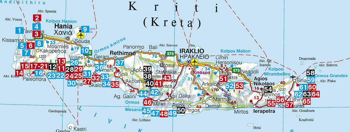
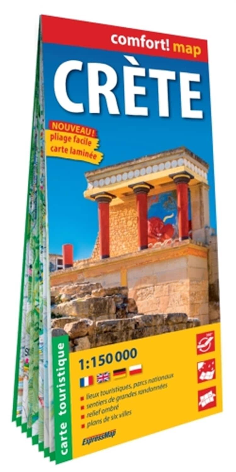
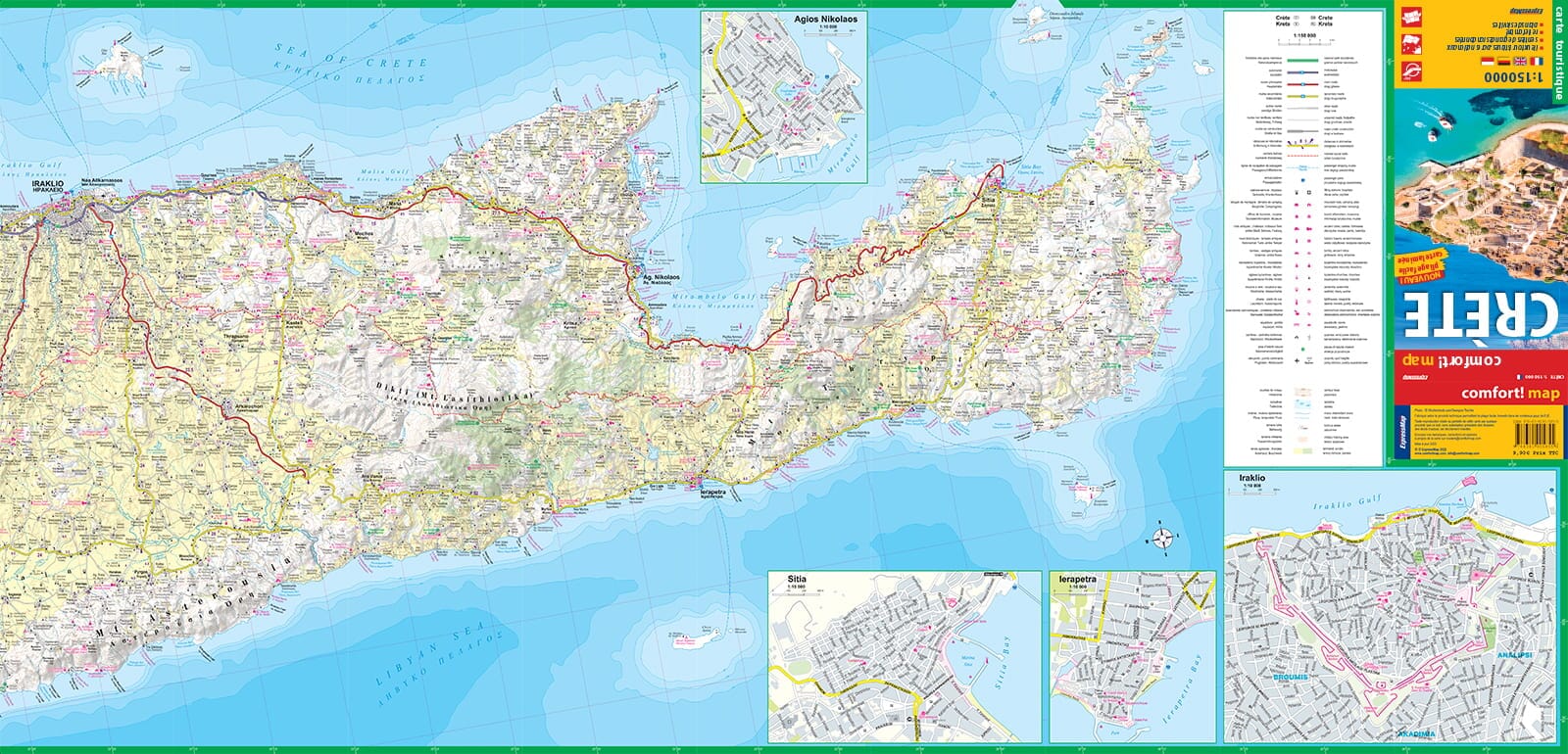
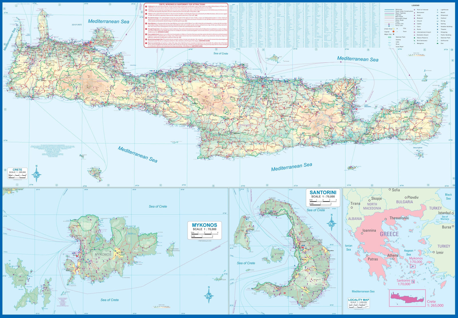
Map of the region of Heraklion, GPS compatible, printed on waterproof paper and tear resistant. The level curves spaced from 100 m, the colors and points with the altitude indicate the topography of the landscape. The map has a UTM grid.
The road network is indicated: large and small roads, paved and unpavers. The sights are marked (thermal baths, monasteries, mountain huts, caves, etc.)
The names of cities, are noted in Latin and Greek writing, with a legend also in English.
ISBN/EAN : 9789608195806
Publication date: 2016
Scale: 1/100,000 (1cm=1km)
Folded dimensions: 12 x 23cm
Language(s): English, Greek
Weight:
60 g


