Great Smoky Mountains National Park Map & Day Hikes (lot de cartes) | National Geographic carte de randonnée National Geographic

Great Smoky Mountains National Park Map & Day Hikes (map pack) | National Geographic

Price
Regular price $4100
Regular price Sale price $4100
/
  • In stock in the USA and in the UK
    Shipped within 24 to 48h from the warehouse closest to you
  • All-inclusive price: customs duties are already paid by Cartovia
  • Free returns (*)
  • Real-time stock levels
  • Cartovia Guarantee – Delivery issue?
    We resend immediately upon receiving a simple photo.
  • In stock, ready to ship
  • Backordered, shipping soon
Tax included.

Frequently bought together:

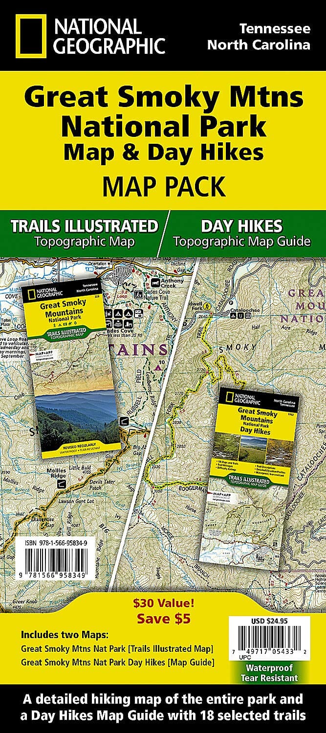
Waterproof and tear-resistant map pack for Great Smoky Mountains National Park, described as the country's most visited national park.

The pack contains three maps: an overview of the whole park and detailed maps of its eastern and western halves. Together, they support trip planning, whether for a drive around scenic Cades Cove or a backcountry hike.

All trails have distance information. The three maps show numerous points of interest, including walking trails, campsites, boat ramps, shelters and more.

Coverage includes Great Smoky Mountains National Park, the Appalachian Trail, Benton Mackaye Trail, Mountains-to-Sea Trail, Cades Cove Driving Loop, Chilowee Mountain, Little Mountain, Cataloochee Divide, Blue Ridge Parkway, Cherokee, Pisgah and Nantahala National Forests, Little Tennessee and Tuckasegee.


ISBN/EAN : 9781566958349
Publication date: 2019
Folded dimensions: 9.06 inches x 4.33 inches (23 x 10 cm)
Unfolded dimensions: 37.01 inches x 24.61 inches (94 x 62 cm)
Language(s): English
Weight: 10.5 oz