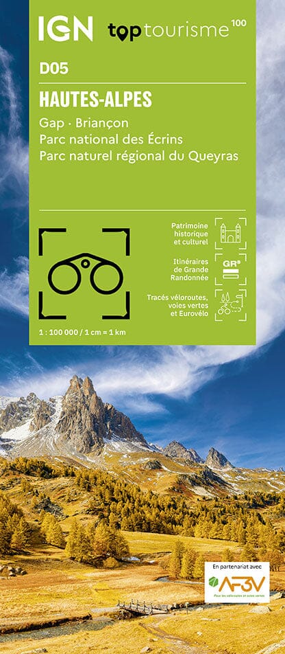
TOP100 Tourist map D37 - Indre-et-Loire: Tours, Chinon, Loches, Loire Valley and Castles, Loire-Anjou-Touraine Regional Natural Park | IGN

Price
Regular price $1400
Regular price Sale price $1400
/
  • Ships within 24 business hours from our warehouse in France
  • Free returns (*)
  • Real-time stock levels
  • Cartovia Guarantee – Delivery issue?
    We resend immediately upon receiving a simple photo.
  • In stock, ready to ship
  • Backordered, shipping soon
Tax included.

Frequently bought together:

Departmental tourist map of Indre-et-Loire published by IGN.
This new edition features a new departmental division. It includes cycling routes in partnership with the AF3V – VéloRoutes et Voies Vertes (Cycle Routes and Greenways) association.
Thanks to its 1:100,000 scale (1 cm = 1 km), the new TOP 100 map is ideal for discovering a region and for tourism on foot, by bike, or by car.
A large amount of tourist information is precisely represented on the map: parks and nature reserves, monuments, castles, museums, caves, viewpoints, refuges, climbing and white water sports sites, supervised beaches, etc.
An enriched network of secondary roads, to allow for safe cycling trips:
• For exploring on foot, all GR® and GR de Pays® trails
• For exploring by bike, the entire local road network and all Vélo-routes and Voies Vertes (cycle routes and greenways) with AF3V classification, including paved or gravel roads, dedicated lanes, or shared with other vehicles
• For exploring by car, the entire road network: national, regional, departmental, and secondary.
To complement the mapping:
• Relief is represented by contour lines and spot elevations
• A commune index allows for easy navigation

Legend in three languages: French, English, and German.


ISBN/EAN : 9782758556602
Publication date: 2025
Scale: 1/100,000 (1cm=1km)
Printed sides: front
Folded dimensions: 19 x 25cm
Language(s): French, English, German
Weight: 70 g