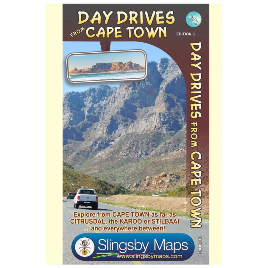
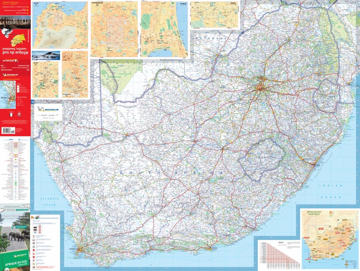
This map of day trips from Cape Town is the most comprehensive map available of the heart of the Western Cape province. It shows all roads, towns and landforms in the region, from Cape Town north to Citrusdal, northeast to Laingsburg and east to Stilbaai / Albertinia: all destinations are easily accessible by car from Cape Town.
Key tourist features are included, and "smiley faces" indicate the most scenic routes.
ISBN/EAN : 9781920377342
Publication date: 2017
Scale: 1/425,000 (1cm=4.25km)
Folded dimensions: 13 x 19cm
Language(s): English
Weight:
90 g

