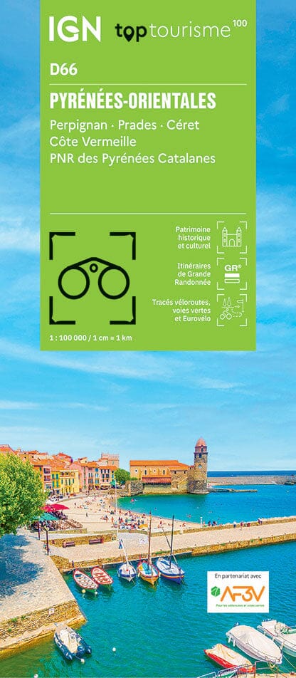
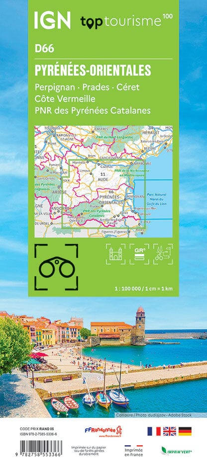
TOP 25 topographic map no. 2548OT of Perpignan, and the beaches of Roussillon published by IGN.
This hiking map features contour lines spaced 10 meters apart and a detailed legend (vegetation, rocks, communication routes down to the smallest path, buildings down to the shed, woods, isolated tree, river, spring, etc.).
Marked trails and tourist information are indicated. Scale 1/25,000 (1 cm = 250 m).
Municipalities covered : Perpignan, Roussillon Beaches, La Palme, Port-la-Nouvelle, Feuilla, Villeneuve-les-Corbières, Salses-le-Château, Vingrau, Opoul-Périllos, Fraissé-des-Corbières, Saint-Jean-de-Barrou, Embres-et-Castelmaure, Fitou, Roquefort-des-Corbières, Durban-Corbières, Villesèque
Places to discover : Narbonnaise in the Mediterranean, Leucate or Salses Pond, Estrons de la Vieille, Montoulié de Périllou, Cap Leucate, Prehistory Museum, Lydia, St-Aubin Chapel, Fort de Salses, Caune de l'Arago, Durban Castle, Aqualand Port Leucate, Foncaude Botanical Garden, Leucate Castle


