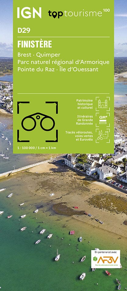
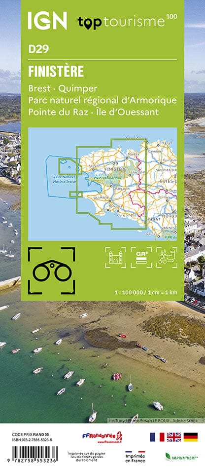
The IGN TOP 25 hiking map No. 0616 OT covers the following area: Morlaix, Queffleuth Valley, Armorique Regional Nature Park.
- Contour lines at 10-metre intervals.
- Detailed legend: vegetation, rocks, transport routes down to the smallest paths, buildings down to individual sheds, woodland, isolated trees, rivers, springs and more.
- Waymarked trails and tourist information are shown.
- Scale: 1:25,000 (1 cm = 250 m).
Municipalities covered: Plouigneau, Saint-Martin-des-Champs, Lannéanou, Guimiliau, Plouégat-Moysan, Bolazec, Botsorhel, Scrignac, Garlan, Plougonven, Morlaix, Plourin-lès-Morlaix, Berrien, Sainte-Sève, Commana, Pleyber-Christ, Plounéour-Ménez, Guiclan, Le Cloître-Saint-Thégonnec, Saint-Thégonnec Loc-Eguiner.
Places to discover: Armorique Regional Nature Park, Rochers du Cragou, Roc'h Trédudon, Roc'h Trévézel, Monts d'Arrée, Lesquiffiou Castle, Kermerzit Castle, Penhoat Castle, Ste-Geneviève, Keranroux, Kervézec Castle, Manoir de Mezédern.