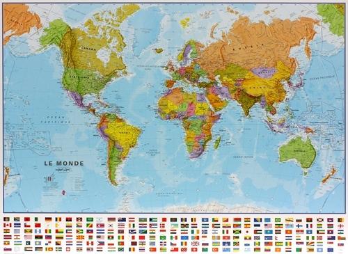
Discover the world with this National Geographic World Explorer wall map, a reference map that is detailed, clear, and pleasant to consult.
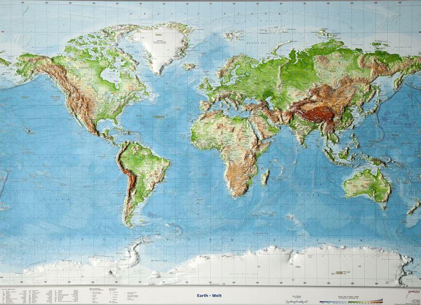
The Explorer version stands out with its blue oceans and bright color palette, which makes it easier to read continents, borders, and major geographical features. The shaded relief highlights the main mountain ranges and adds more depth to the representation of the world.
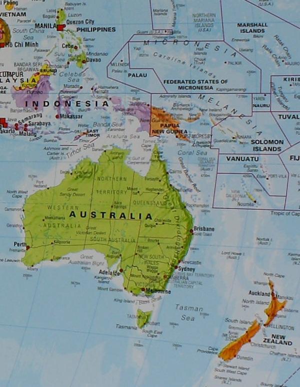
Made using the Miller projection, the map represents the entire globe on a rectangular format, making full use of the available surface. Thousands of place names are carefully positioned to maintain good readability, even in densely populated regions such as Europe, Asia, or the Middle East.
The map notably indicates:
-
international borders;
-
major cities;
-
major topographical features;
-
rivers and streams;
- numerous terrestrial geographical features;
-
the main characteristics of the ocean floor relief.
National Geographic relies on numerous recognized sources to create its maps and applies its own cartographic conventions for the representation of borders and territories.
This 36 × 24 inch (approx. 91 × 61 cm) poster size version offers a good compromise between level of detail and footprint. It is easy to install in an office, bedroom, classroom, or workspace, and its standard size also facilitates framing.
The map is protected by a durable 1.6 mil lamination, which improves its durability and limits the effects of humidity variations on the paper. It can also be framed without glass, allowing for a lighter frame.
Features:
-
Type: world map / world wall map
-
Collection: National Geographic Reference Map
-
Style: World Explorer
-
Projection: Miller
-
Dimensions: 36 × 24 inches (approx. 91 × 61 cm)
-
Oceans: blue
-
Terrestrial relief represented by shading
-
Relief and features of the ocean floor
- Numerous names of cities, regions, and geographical features
- Clearly represented international borders
The laminated version is laminated with a durable 1.6 mil lamination, which protects the paper and improves its resistance to humidity variations. The laminated surface also makes the map easier to maintain and allows it to be framed without glass, for a lighter ensemble.