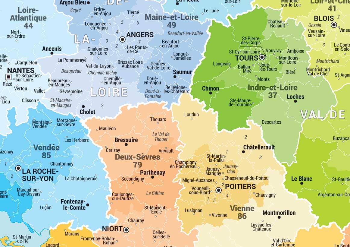
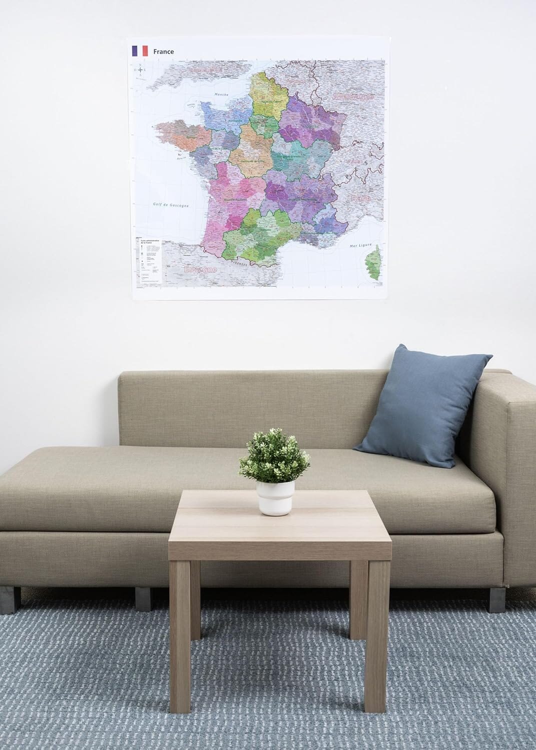
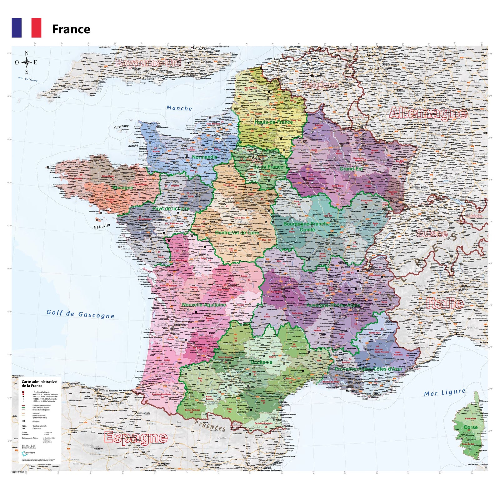
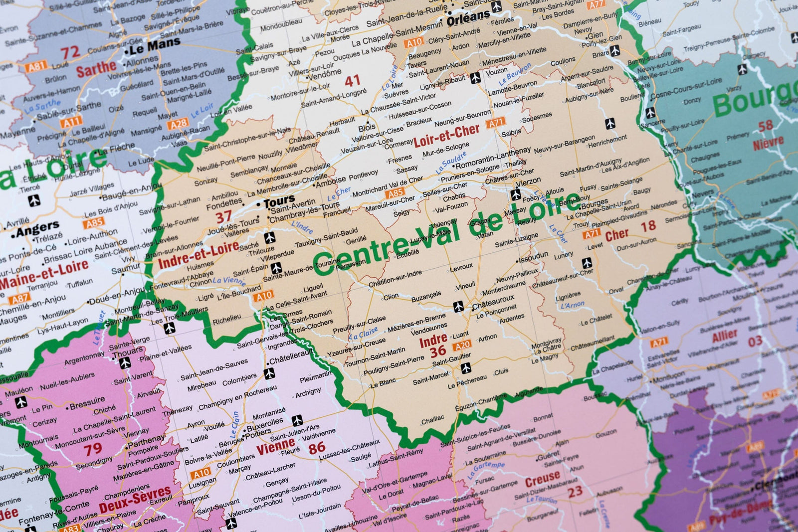
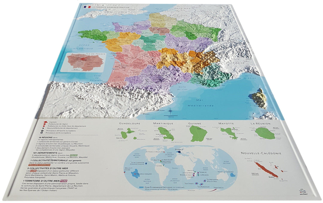
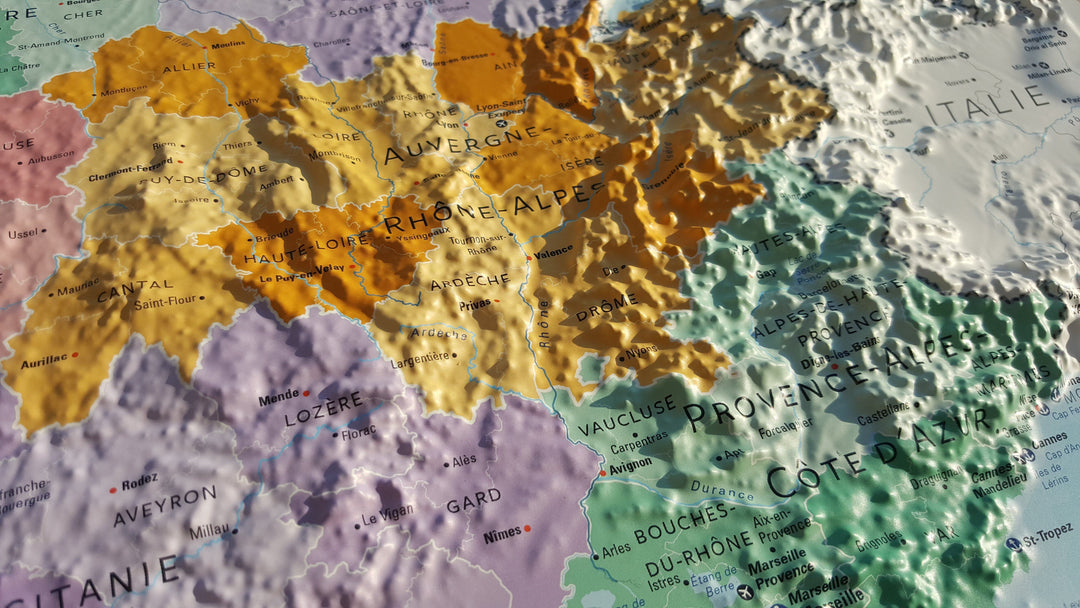
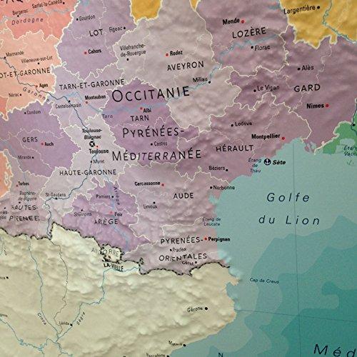
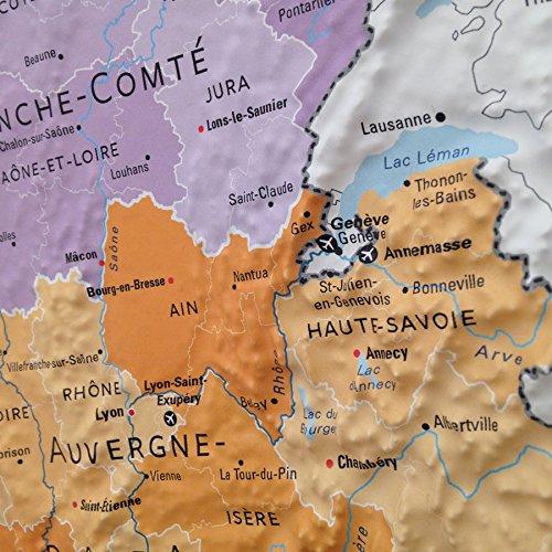
3D Raised relief map - Administrative France (61 cm x 91 cm) | 3D Map (French)
- Shipping within 24 working hours from our warehouse in France
- Delivery costs calculated instantly in the basket
- Real-time inventory
Over 19,500 maps 🗺️ and travel guides, hiking maps, posters, globes, and decor in stock!
Explore the world, one map at a time 🗺️
Cartovia is rated Excellent ⭐️ on Trustpilot — 9,100+ reviews from explorers and map lovers worldwide.
Cartovia is rated Excellent ⭐️ on Trustpilot — 9,100+ reviews from explorers and map lovers worldwide
Embossed Wall map that presents France with its administrative subdivisions. P>
Information included on the map:
• New regions, departments, prefectures, sub - prefectures, rivers • Grand ports, major airports, communities and territories Sea
• A Mini Map World
• A Game of 6 Thematic Mute Maps A4 Download: Hydrology - Departments - Regions - Cities - Neighboring Countries - France in World
Scale 1: 2,000,000 p>
ISBN / EAN : 9782955772928
Date de publication : 2016
Echelle : 1/2,000,000 (1cm=20km)
Dimensions déplié(e) : 61cm x 91cm
Langue : French
Poids :
320 g
Grande carte bien réalisée avec les informations de relief et administratives, c'est super.
Belle carte, envoi rapide et soigné.
Bon état et bonne qualité de la carte.
Une carte de bonne qualité, avec des couleurs et un relief agréable. Mes enfants aiment la regarder, la toucher et y découvrir nos destinations en France. Un bel objet d'apprentissage et de décoration.
Très contente cette achat ,bonne qualité .
Cette carte est très belle, les reliefs sont parfaits.
Nous l'adorons
Carte de bonne qualité.
The exclusive newsletter for travel and discovery enthusiasts!