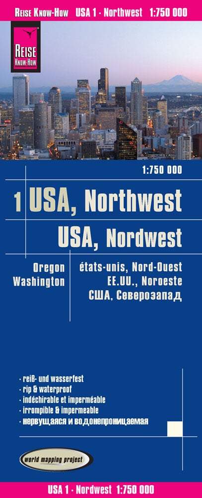
Travel map - Oregon & Plane de Portland | ITM
- Shipping within 24 working hours from our warehouse in France
- Choose your delivery method and cost at checkout, before confirming your order.
- Free returns (*)
- Real-time inventory
- In stock, ready to ship
Over 19,500 maps 🗺️ and travel guides, hiking maps, posters, globes, and decor in stock!
Explore the world, one map at a time 🗺️
Cartovia is rated Excellent ⭐️ on Trustpilot — 9,100+ reviews from explorers and map lovers worldwide.
Cartovia is rated Excellent ⭐️ on Trustpilot — 9,100+ reviews from explorers and map lovers worldwide
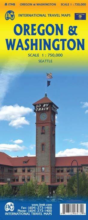
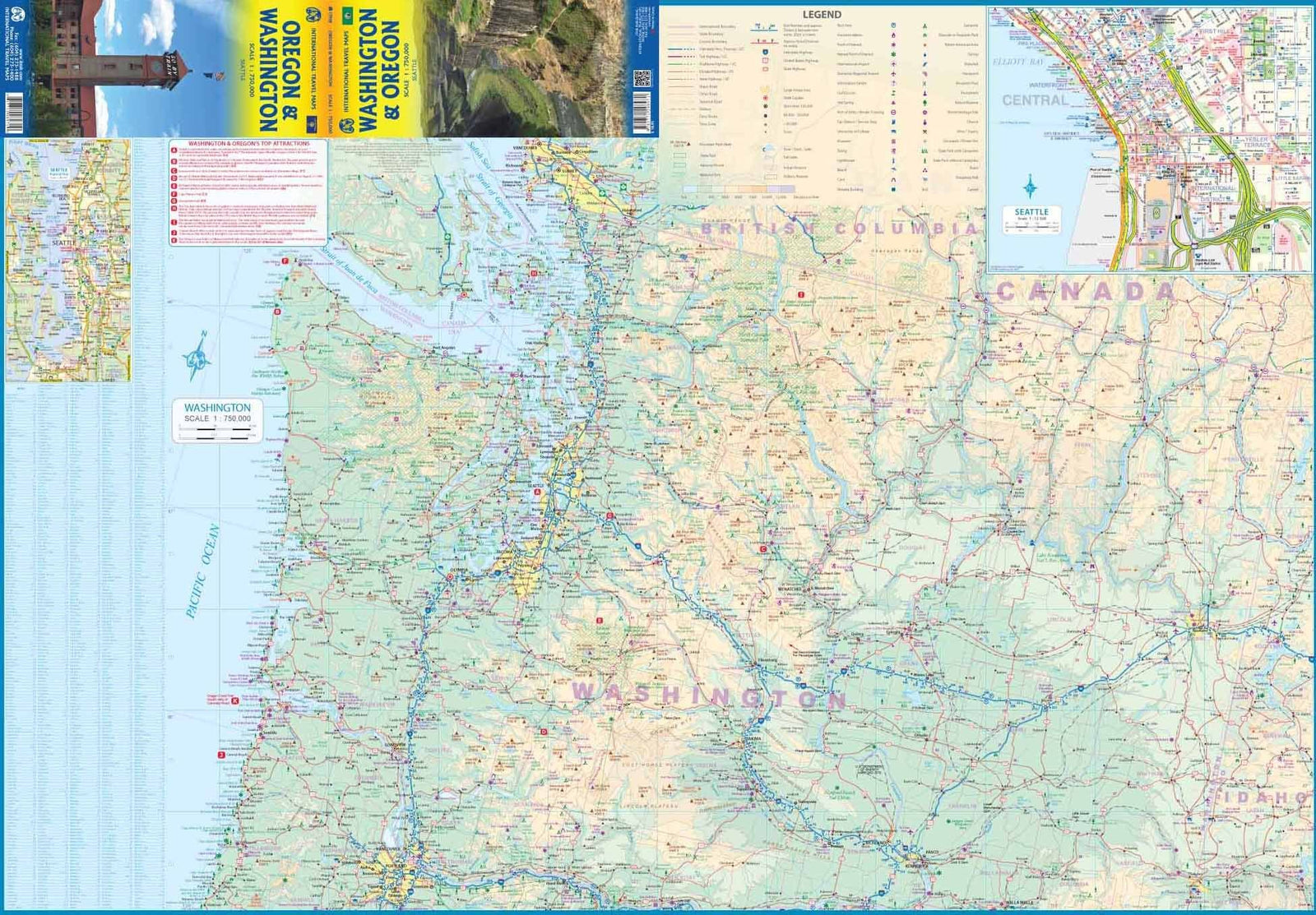
Plan of la Ville de Portland that goes from the Northwest Northwest Bridge Freemont to the North (I - 5 motorway) south of Ross Island, and Washington Park to the west at Chavez Boulevard in the East. It encompasses the whole heart of Portland and allows to show the rapid transit line, the Congress Center, the city center and all the bridges crossing the Willamette River. P>
The back of the map shows the state of the Oregon with excellent details. p>
Scale 1: 9,000 and 1: 900,000. span> p>
ISBN/EAN : 9781771296199
Publication date: 2019
Scale: 1/9,000 & 1/900,000 (1 cm = 9 km)
Printed sides: both sides
Folded dimensions: 24.6 x 10.3 x 0.5cm
Unfolded dimensions: 100 x 69cm
Language(s): English
Weight:
52 g
The exclusive newsletter for travel and discovery enthusiasts!