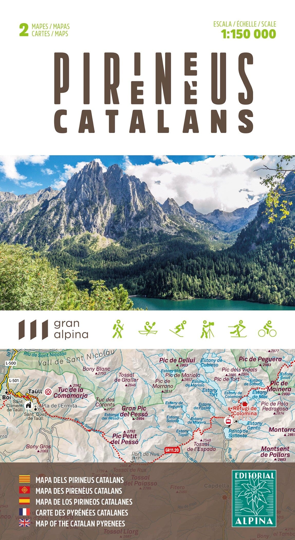
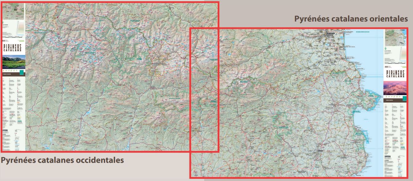
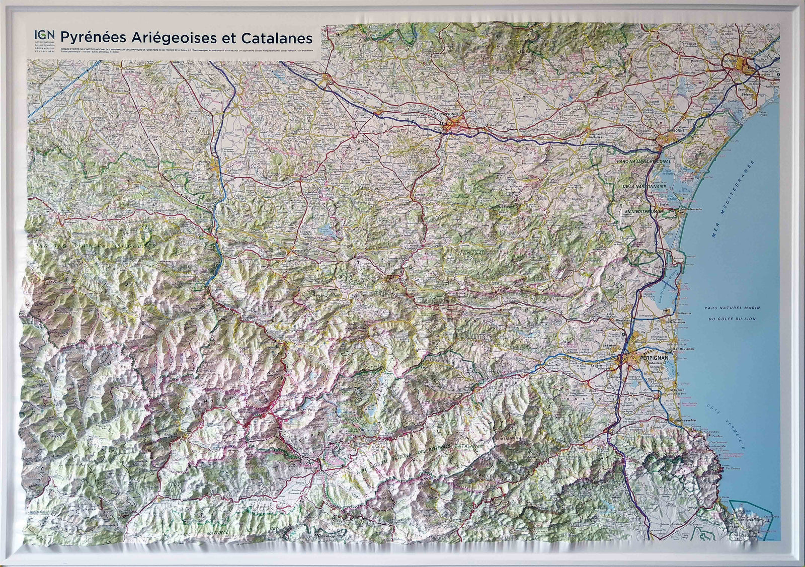
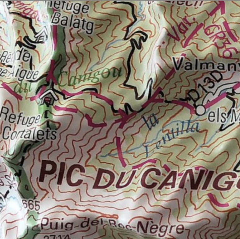
Set of 3 detailed hiking maps of the Vall d'en Bas area, Les Preses, Aiats, and Puigsacalm.
Map area: Massif Transversal and Catalan Pre-Pyrenees. Vall d'en Bas and Collsacabra.
Regions of Garrotxa and Osona.
Features: Two topographic maps at a scale of 1:15,000 and one map at a scale of 1:10,000 of the Puigsacalm area.
Information of interest to hikers: marked trails (GR, PR, and SL), trail network, mill signs, archaeological remains, historical trails, fountains, caves, etc.
The folder included with the maps lists the top 9 points of interest.


