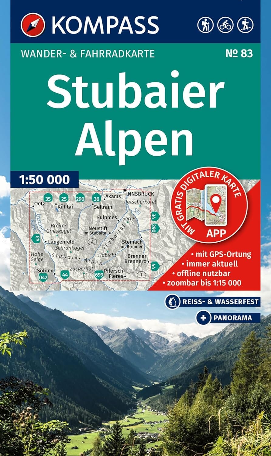
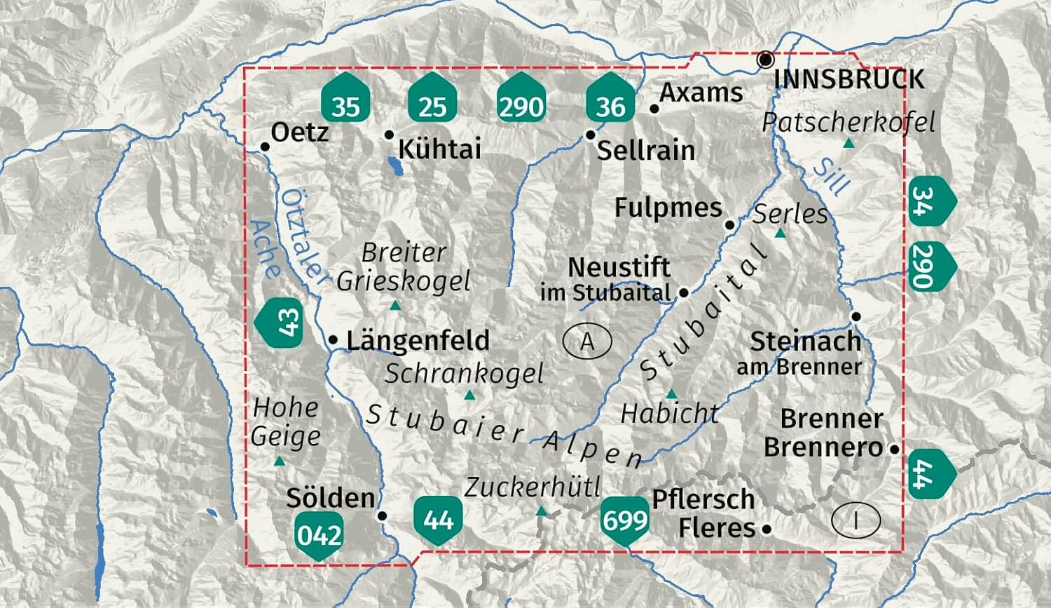
🏔️ Hiking and cycling map – Stubaier Alpen (no. 83 Kompass)
Scale: 1:50,000
Waterproof and tear-resistant – With hand-drawn panorama
🗺️ An all-in-one map for mountain adventure
Kompass hiking maps are designed to provide clear reading and reliable orientation during your outdoor activities. Whether you're hiking , cycling , ski touring or even an alpine excursion , this map will accompany you on all your adventures in the Stubai Alps.
It includes:
-
All official hiking trails , numbered and named
-
Cycle paths , via ferratas , cross-country ski trails , etc.
-
Mountain refuges , hostels , parking lots , bus stops and train stations
-
Springs , swimming areas , and more
🧭 Main features:
-
Scale 1:50,000 : 1 cm = 500 m in reality
-
Waterproof and tear-resistant paper : to withstand all weather conditions
-
Panorama on the back : Hand-drawn panoramic view of the Stubai Alps
-
Map section available offline in the KOMPASS mobile app
-
Detailed zooms available in the app
🌄 About the region: the majestic Stubai Alps
The Stubai Alps, located in the Austrian Tyrol, offer spectacular alpine scenery :
-
Around 80 glaciers and 40 peaks exceeding 3,000 m
-
Giants like the Zuckerhütl (3,507 m) , the Habicht or the Wilde Freiger
-
Renowned hut-to-hut hikes , including:
🛖 Franz-Senn, Starkenburger, Sulzenauer, Nürnberger, Dresdner and Innsbrucker
The emblematic route :
The Stubai high-altitude trail (almost 80 km, in 9 stages), from Fulpmes to Peiljoch , offers breathtaking panoramas of the surrounding glaciers and peaks.