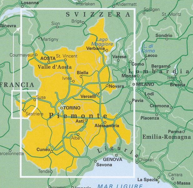
Hiking map No. 7 - Maira, Grana and Stura Valleys | Istituto Geografico Centrale - 1:50,000

Price
Regular price $2400
Regular price Sale price $2400
/
  • Ships within 5 to 8 working days
    (Currently in transit to our warehouse in France)
  • Cartovia Guarantee – Delivery issue?
    We resend immediately upon receiving a simple photo.
Tax included.

Often purchased together:

This map specifically covers the Maira, Grana and Stura valleys, showing the Percorsi Occitani, GTA (Grande Traversata delle Alpi), Curnis Auta and Tour du Rocca Meja routes.

It includes the following areas

Acceglio - Castelmagno - Colle della Maddalena - Demonte - Dronero - Pradleves - Prazzo - St.Etienne de Tinee - Vinadio.

This hiking map series covers the Italian-Swiss and French-Italian borders and the coastal area southeast of Genoa as far as the French border.


ISBN/EAN : 9788896455074
Publication date: 2012
Scale: 1/50,000 (1cm=500m)
Folded dimensions: 12x22cm
Unfolded dimensions: 30.71 x 41.34 inches / 78 x 105cm
Language(s): French, English, German, Italian
Weight: 80 g