Hiking map No. 7 - Malmedy | Mini Planet

Price
Regular price $2100
Regular price Sale price $2100
/
  • Shipped within 24 to 48h from our warehouse in France
  • All-inclusive price: customs duties are already paid by Cartovia
  • Free returns (*)
  • Real-time stock levels
  • Cartovia Guarantee – Delivery issue?
    We resend immediately upon receiving a simple photo.
  • In stock, ready to ship
  • Backordered, shipping soon
Tax included.

Frequently bought together:

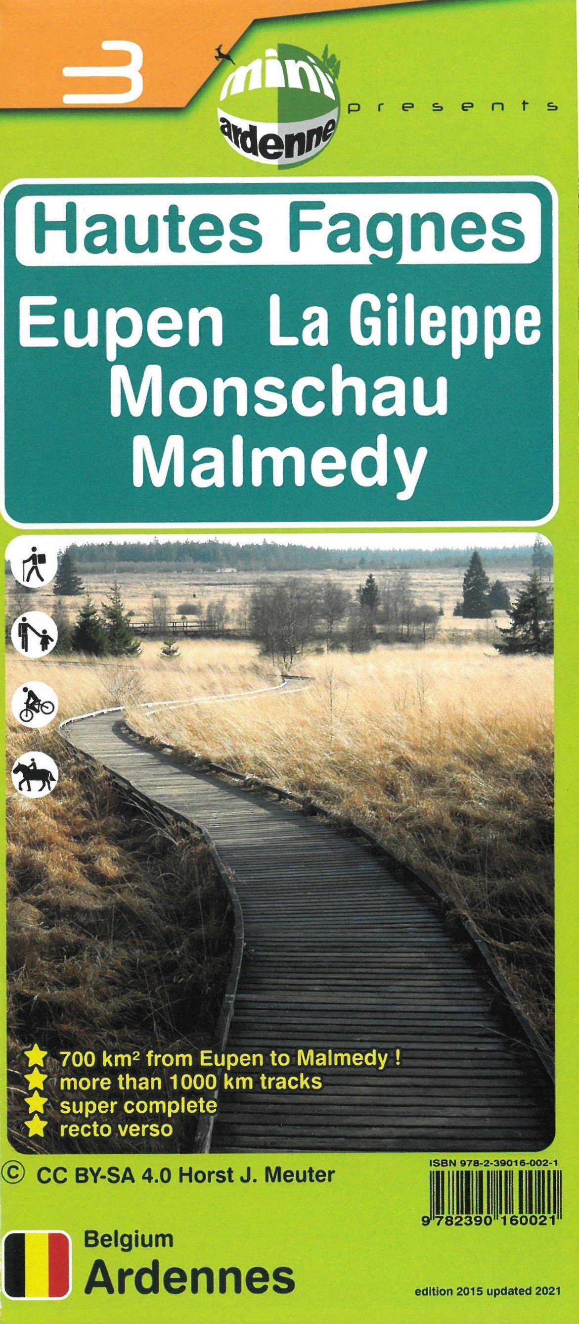
This hiking map covers the area of Malmedy.

This clear, practical mini-ardenne topographic map at 1:25,000 covers part of the Ardennes: Amel, Robertville Dam, Bullingen, Butgenbach, Ferme Libert, Rocherath, Talsperre Butgenbach and Waimes.

Nodes, each associated with a named locality, and short and long loop routes let beginners, experienced hikers, cyclists and horse riders explore the heart of the Ardennes and its enchanting atmosphere. Tourist attractions, campsites and numerous points of interest, such as bakeries, cafés and playgrounds, are also shown.

Relief and contour lines at 5 m intervals; kilometre distances on each section between two nodes to calculate the total route length; legends and texts in French, Dutch, German and English; QR codes linking to www.mini-ardenne.be, which lists points of interest by village.


ISBN/EAN : 9782390160069
Publication date: 2023
Scale: 1/25,000 (1cm=250m)
Folded dimensions: 17x10cm
Unfolded dimensions: 100 x 50cm
Language(s): French
Weight: 65 g