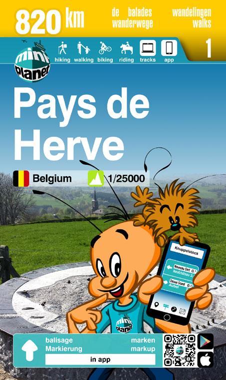
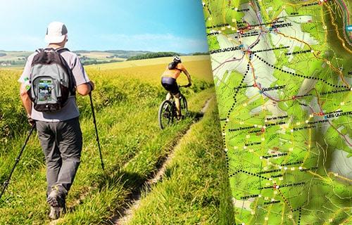
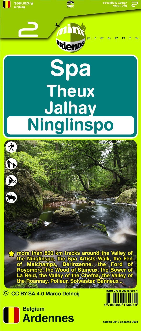
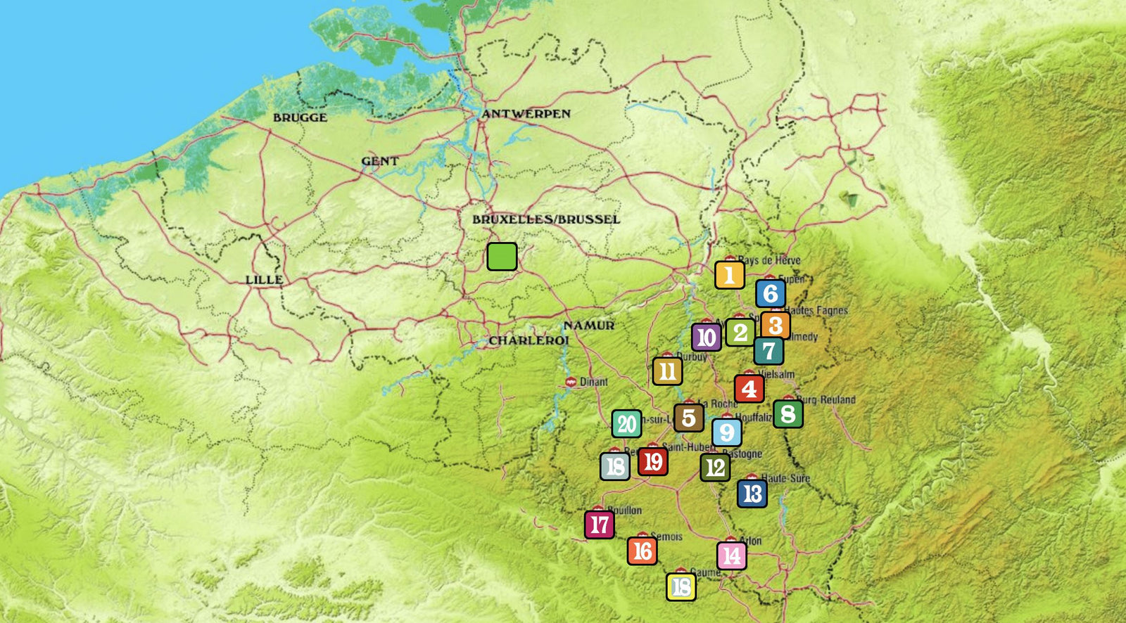
This hiking map covers the Liège, Sart, Tilman, Tilff, Chaudfontaine area.
A double-sided map of the Liège region, with the outskirts on the front at 1:25,000 and central Liège on the reverse at 1:6,250.
Liège is a complex, varied urban area, both in its landscapes and in human land use.
At the meeting point of several natural regions, including Pays de Herve, the Ardennes, Condroz, Pays de la Vesdre and Hesbaye, landscapes vary widely: densely wooded to the south, hedged farmland and orchards to the northeast, and extensive cultivated fields to the northwest. The setting is often hilly, shaped by the confluence of major rivers with the Meuse, including the Ourthe, which meets the Vesdre nearby at Chênée.
Beyond the industrial core, mostly confined to the Meuse corridor, numerous quiet corners are threaded with walking paths and trails.
Some are unexpected, crossing former spoil heaps or preserved green areas such as Ry-Ponet Landscape Park.
Despite the denser housing, many peaceful, wooded places remain to be discovered.