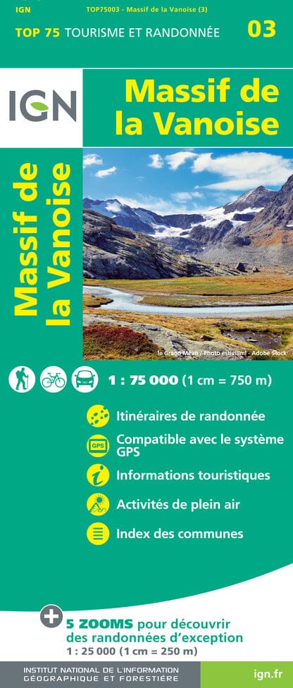
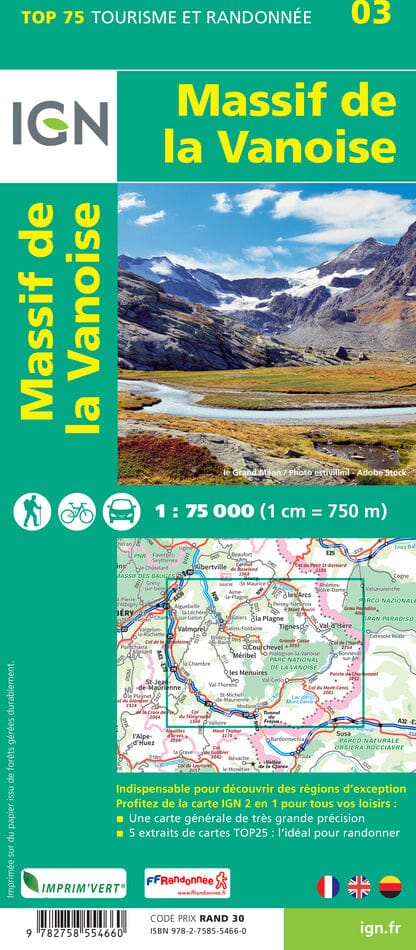
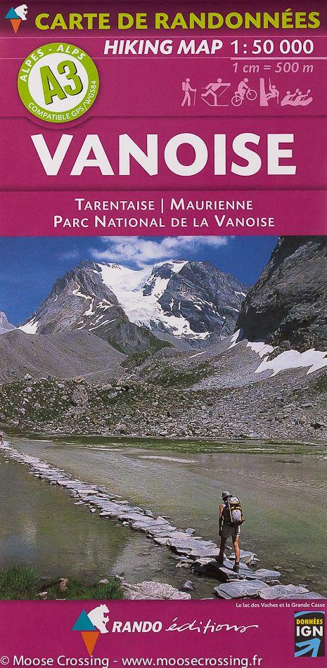
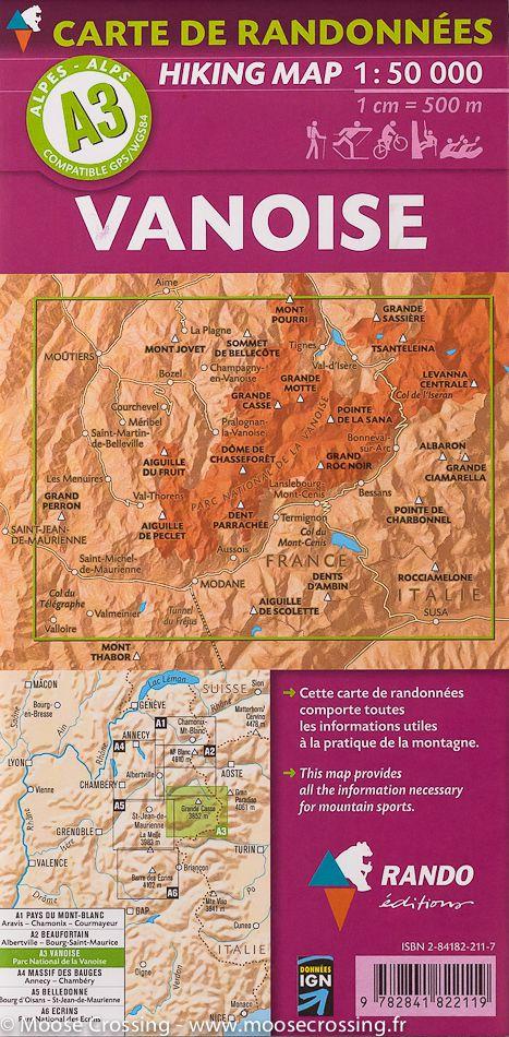
The IGN TOP 25 hiking map No. 3633 ET covers the following area: Tignes, Val d'Isère, Upper Maurienne, Vanoise National Park.
TOP 25 hiking map No. 3633ET of the area around Tignes and Val d'Isère, including the Upper Maurienne Valley and part of the Vanoise National Park.
This IGN map extends from Tignes to the Col du Mont Cenis from north to south, and from La Grande Casse to the Italian border from west to east.
- Contour lines at 10-metre intervals.
- Detailed legend: vegetation, rocks, watercourses and more.
- Hiking trails are shown.
Municipalities covered: Val-d'Isère, Bessans.
Places to discover: Glacier du Vallonnet, Glacier des Sources de l'Arc, Glacier du Baounet, Glacier d'Arnès, Glacier de la Grande Motte, Glacier du Vieux, Bessans Municipal Forest, l'Ouillette, Pic Regaud, la Petite Ciamarella, Pointe Mezzenile, Ouille d'Arbéron, Pointe des Lessières, Pointe du Montet, Levanna Occidentale, Levanna Centrale, Grande Aiguille Rousse, Punta Albaron di Sea, C. de Fresse, la Bessanèse, Aiguille Percé.