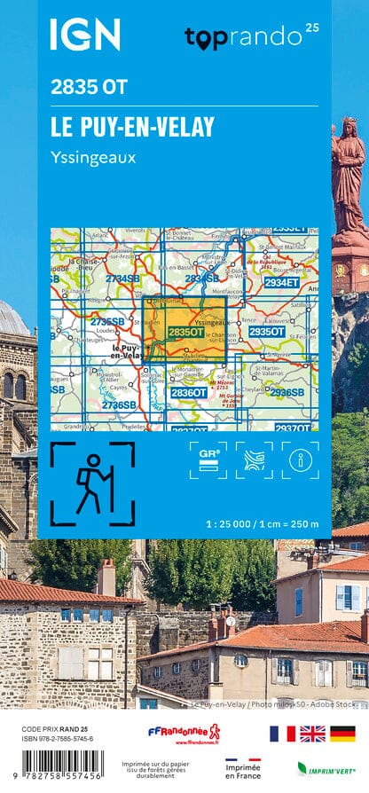
IGN Blue Series hiking map No. 2735 - Le Puy-en-Velay, Loudes

Price
Regular price $2300
Regular price Sale price $2300
/
  • Shipped within 24 to 48h from our warehouse in France
  • All-inclusive price: customs duties are already paid by Cartovia
  • Free returns (*)
  • Real-time stock levels
  • Cartovia Guarantee – Delivery issue?
    We resend immediately upon receiving a simple photo.
  • In stock, ready to ship
  • Backordered, shipping soon
Tax included.

Frequently bought together:

This IGN Blue Series No. 2735 hiking map provides mapping of the Le Puy-en-Velay, Loudes area.

This highly accurate topographic mapping shows every detail on the ground:

  • Transport routes down to the smallest paths.
  • Buildings, including individual sheds.
  • Woodland, isolated trees, rivers and springs.

Contour lines show the terrain.

Municipalities covered: Le Puy-en-Velay, Loudes, Vorey, Saint-Paulien, Chaspinhac, Saint-Jean-de-Nay, Coubon, Chadrac, Le Monteil, Brives-Charensac, Arsac-en-Velay, Vergezac, Aiguilhe, Lavoûte-sur-Loire, Vissac-Auteyrac, Sainte-Eugénie-de-Villeneuve, Siaugues-Sainte-Marie, Prades, Varennes-Saint-Honorat, Vazeilles-Limandre.

Places to discover: Livradois-Forez Nature Park, Peyramont, les Orgues d'Espaly, Rocher Corneille, la Vesseyre, St-Romain Castle, St-Roch Chapel, Rochelambert Castle, Ste-Marie-des-Chazes Chapel, Lavoûte-Polignac Castle.


ISBN/EAN : 9782758558743
Publication date: 2026
Scale: 1:25,000 (1 cm = 250 m)
Folded dimensions: 22 x 11 cm
Unfolded dimensions: 96 cm x 121 cm
Language(s): French, English, German
Weight: 89 g