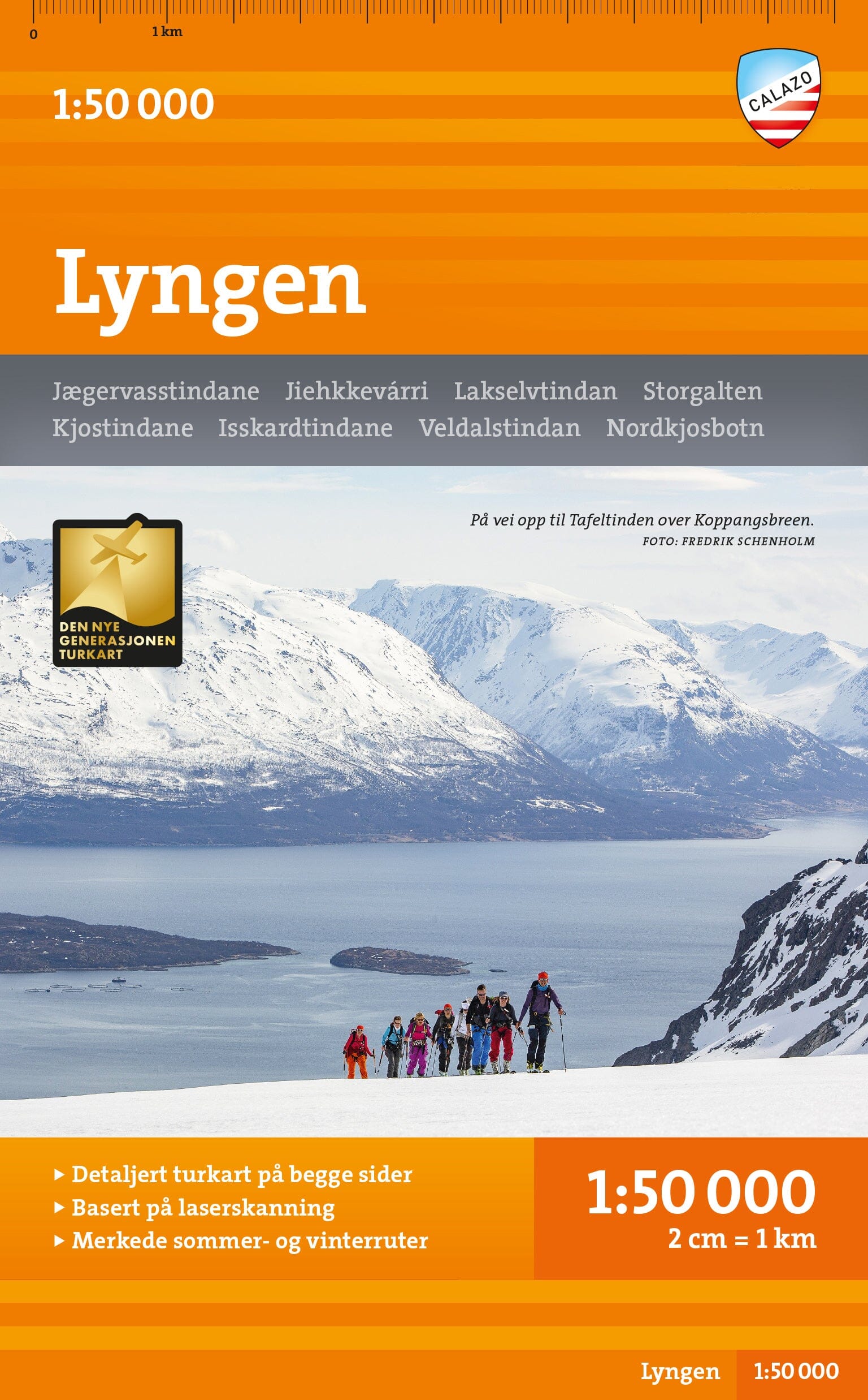
Hiking map - Finse, Hallingskarvet & Aurlandsdalen (Norway) | Calazo - 1:50,000

Price
Regular price $4100
Regular price Sale price $4100
/
  • In stock in France and in the UK
    Shipped within 24 to 48h from the warehouse closest to you
  • All-inclusive price: customs duties are already paid by Cartovia
  • Free returns (*)
  • Real-time stock levels
  • Cartovia Guarantee – Delivery issue?
    We resend immediately upon receiving a simple photo.
  • In stock, ready to ship
  • Backordered, shipping soon
Tax included.

Frequently bought together:

With mapping on both sides, this map covers the entire region between Hallingskarvet in the south and Aurlandsdalen in the north, including classic hiking destinations such as Finse, Hardangerjøkulen and Flåmsdalen.

It also covers the 82 km Rallarvegen cycle route from Haugastøl to Flåm.

This is part of Calazo's modern map series, offering an exceptional wealth of detail based on new data obtained through airborne laser scanning. The map covers all the most popular mountain areas, including DNT and privately operated cabins and waymarked hiking routes. It is designed for year-round use, with marked winter routes and groomed ski trails shown.


ISBN/EAN : 9789189371514
Publication date: 2022
Scale: 1/50,000 (1cm=500m)
Printed sides: both sides
Folded dimensions: 13 x 21cm
Language(s): English, Norwegian
Weight: 60 g