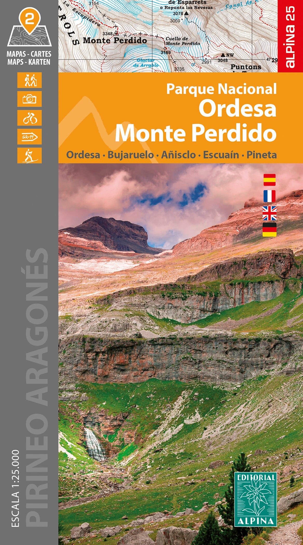
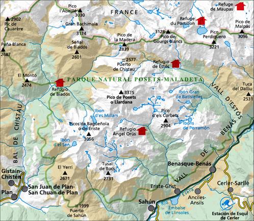
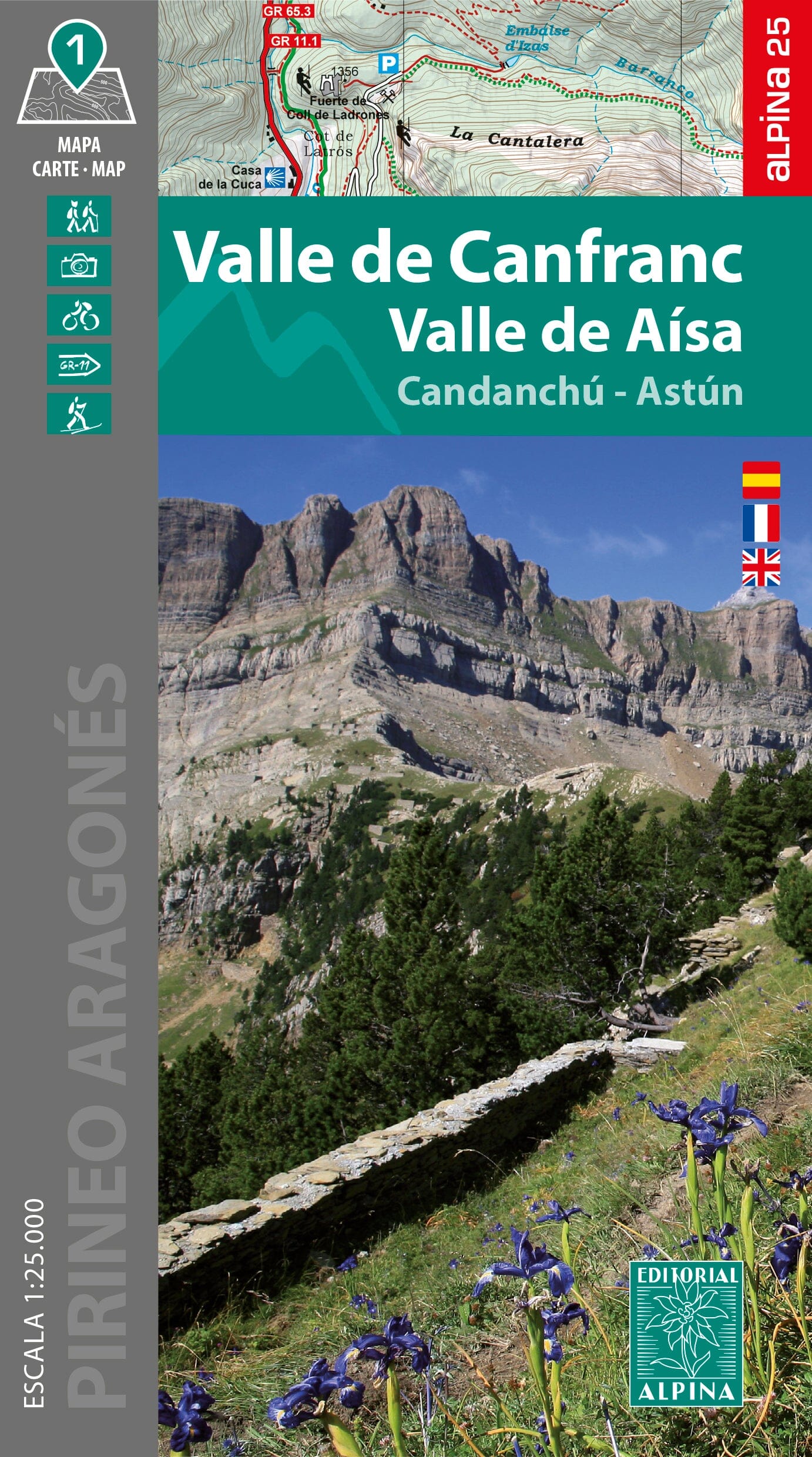
This Alpina hiking map covers the spectacular Bielsa and Chistau, or Gistaín, valleys, in the heart of the Aragonese Pyrenees, within the Sobrarbe region. Shaped by an important glacial heritage, this high-mountain area offers wild landscapes of high-altitude lakes, deep valleys and summits above 3,000 metres.
To the north, on the French-Spanish border, rise several distinctive peaks: Grand Bachimala, also known as Pic Schrader, at 3,174 m; Pic de Lustou at 3,021 m; Culfreda; and Pic de Guerreys.
Features
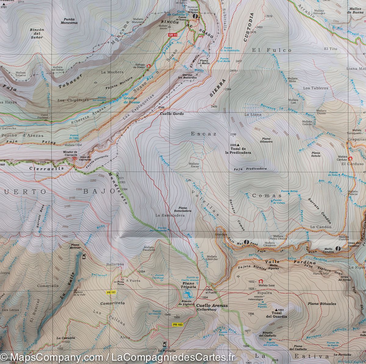
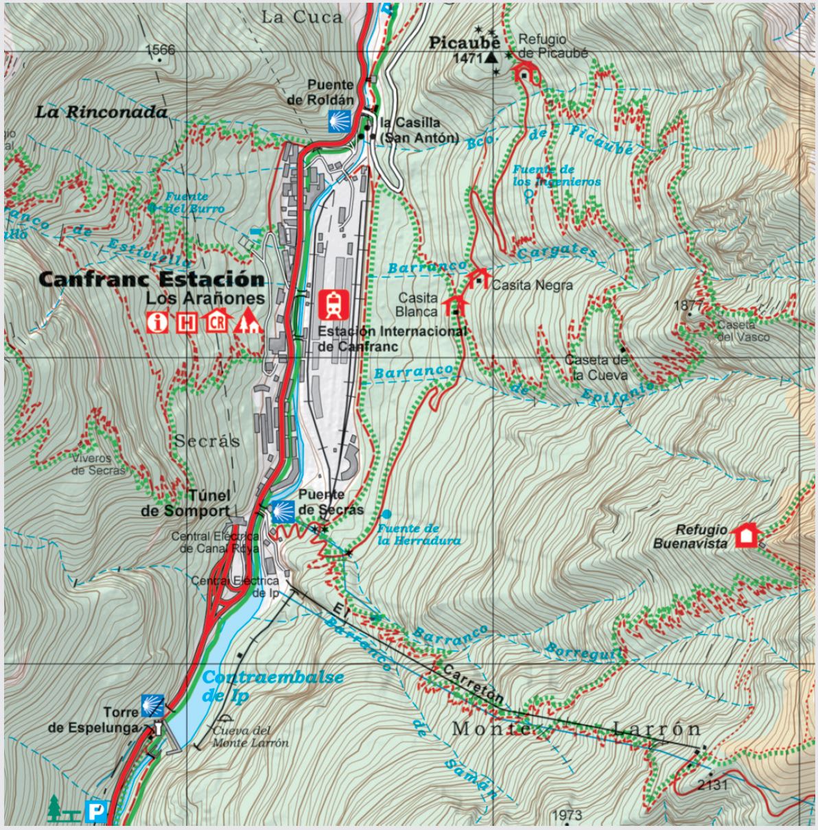
- Detailed 1:25,000 topographic map.
- Waymarked GR long-distance, PR short-distance and SL local routes.
- Complete trail network.
- Mountain huts.
- Sites and points of interest.
- Useful hiking information.
Coverage
The Bielsa and Chistau, or Gistaín, valleys, Sobrarbe region, Bachimala sector and French-Spanish border.
A landscape shaped by glaciers
Evidence of past glacial activity includes the high-altitude Urdiceto, Cau and Barleto lakes, hanging valleys and remarkable alpine terrain. The Bielsa and Chistau valleys are separated by Punta Fuesa, at 2,865 m, and Punta Suelsa, at 2,972 m.
Included additional information
The fold-out flap contains suggested routes, must-see sites, information about mountain huts and geographical information about the region.
This map is an excellent aid for hiking, trekking and exploring one of the wildest areas of the central Pyrenees.