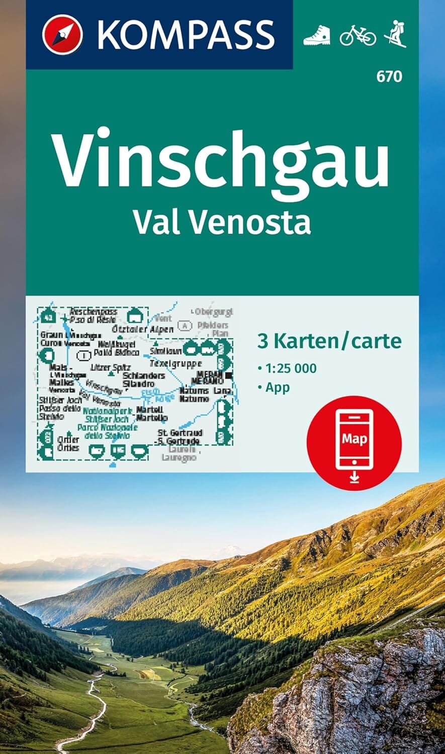
Hiking map No. 95 - Nonstal, Val di Non, Mendelpass (Trentino-Alto Adige) | Kompass

Price
Regular price $2600
Regular price Sale price $2600
/
  • Free returns (*)
  • Real-time stock levels
  • Cartovia Guarantee – Delivery issue?
    We resend immediately upon receiving a simple photo.
  • In stock, ready to ship
  • Backordered, shipping soon
Tax included.

Frequently bought together:

This hiking map covers the area of Nonstal, Val di Non, Mendelpass (Trentino-Alto Adige).

Explore Val di Non and Passo della Mendola with this Kompass hiking map at 1:50,000. It is designed for walking, cycling and other outdoor activities in this mountainous region known for orchards, castles and gorges.

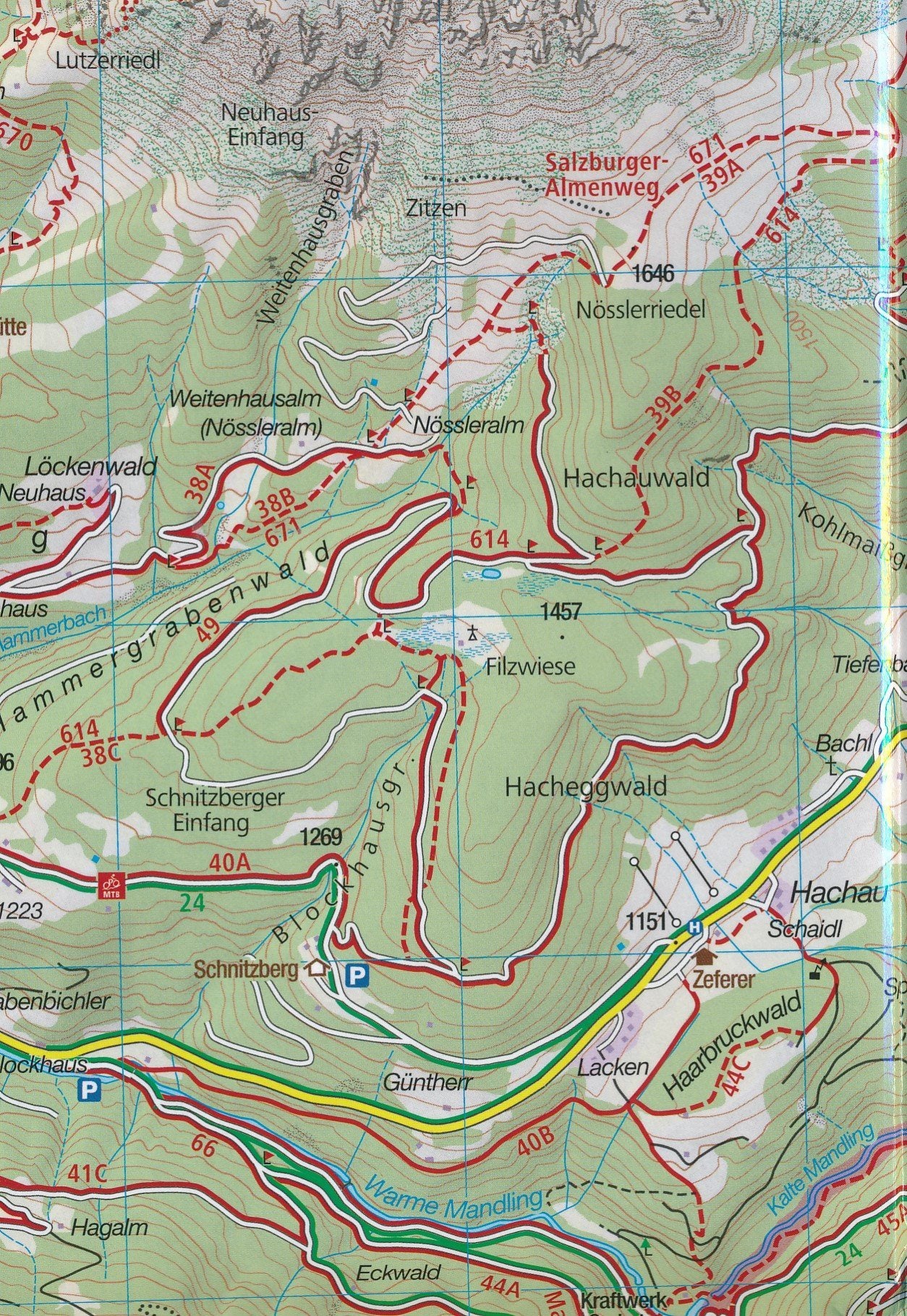
The mapping shows official hiking trails with names and numbers, cycle routes, via ferrata routes, mountain huts, car parks, public transport and useful information for planning outings.

Map details

  • Scale: 1:50,000 (1 cm = 500 m)
  • Hiking trails and long-distance walking routes
  • Cycle routes and trails
  • Via ferrata
  • Inns and mountain huts
  • Car parks, buses and trains
  • Ski routes and cross-country ski trails
  • Springs and swimming spots
  • Relief depicted through vegetation, contour lines, rocks and shading
  • Tear-resistant and weather-resistant paper
  • Map section available offline in the Kompass app
  • Aktiv Guide included, with detailed maps at 1:25,000
  • Hand-drawn panorama on the reverse


ISBN/EAN : 9783991545279
Publication date: 2026
Scale: 1/50,000 (1cm=500m)
Folded dimensions: 11 x 19cm
Language(s): English, German, Italian
Weight: 160 g