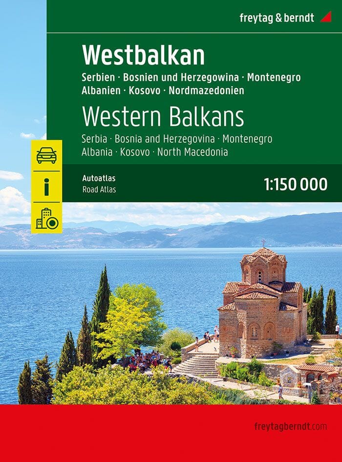
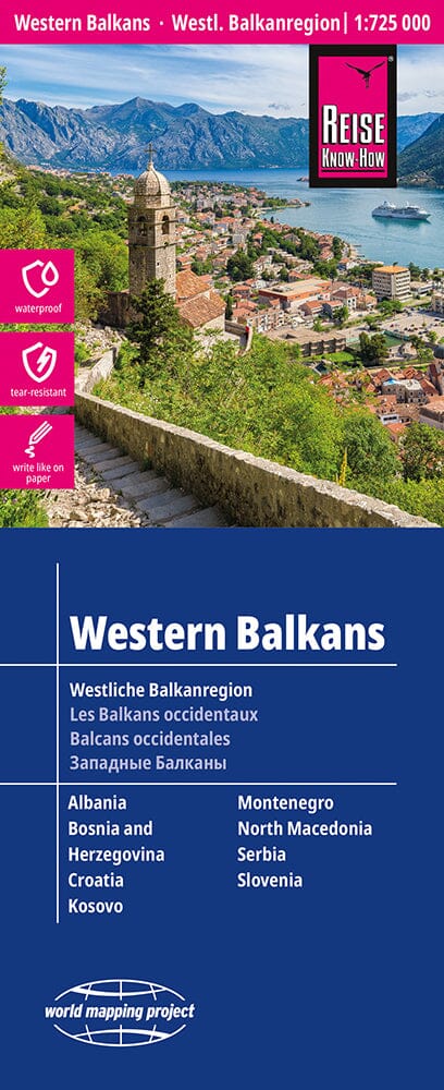
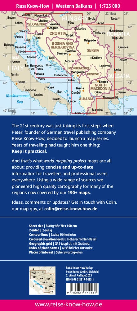
Road atlas - Western Balkans (Albania, Bosnia and Herzegovina, Kosovo, Montenegro, North Macedonia, Serbia) | Freytag & Berndt
Regular price
$5000
Regular price
Sale price
$5000
/
- Shipped within 24 to 48h from our warehouse in the UK
- All-inclusive price: customs duties are already paid by Cartovia
- Free returns (*)
- Real-time stock levels
-
Cartovia Guarantee – Delivery issue?
We resend immediately upon receiving a simple photo.
- In stock, ready to ship