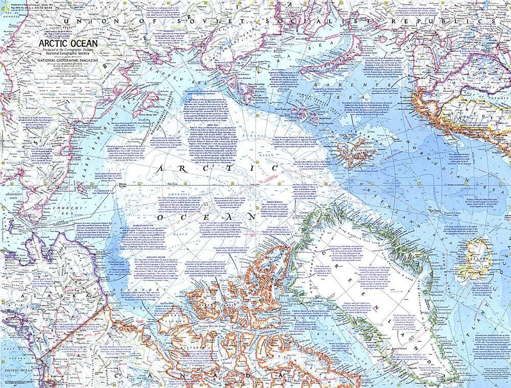
Carte des régions antarctiques de 1932 carte murale roulée (en tube) National Geographic Historic POD Default Title

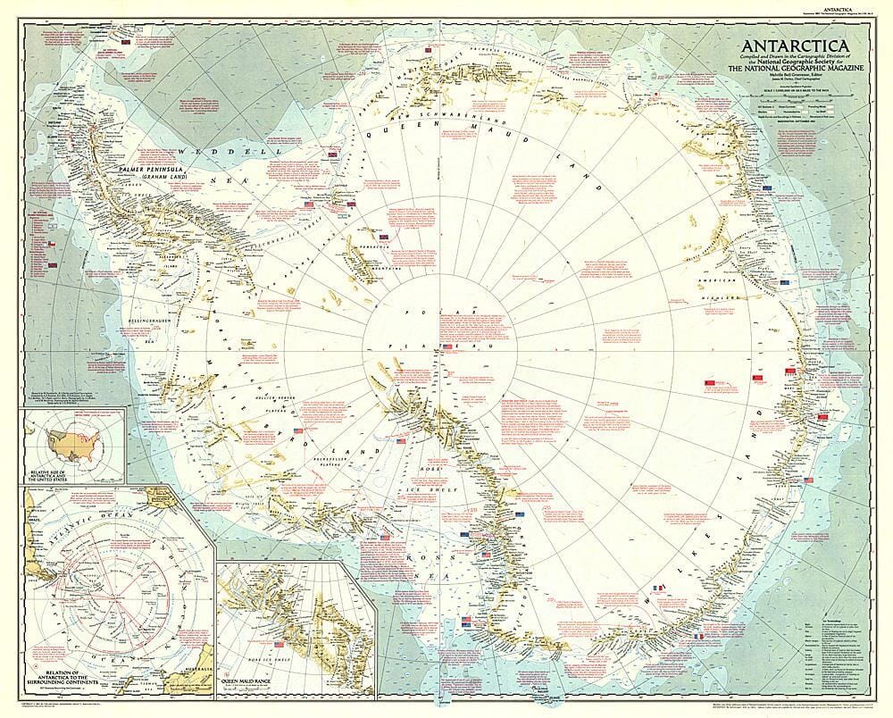
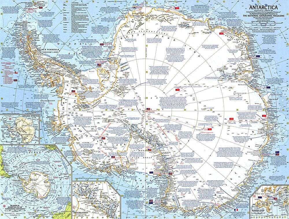
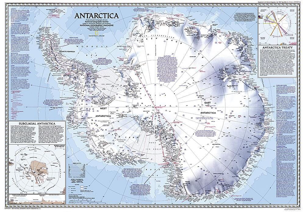
1932 Map of the Antarctic Regions

Price
Regular price $5900
Regular price Sale price $5900
/
  • Shipped within 24 to 48h from our warehouse in the USA
  • All-inclusive price: customs duties are already paid by Cartovia
  • Free returns (*)
  • Real-time stock levels
  • Cartovia Guarantee – Delivery issue?
    We resend immediately upon receiving a simple photo.
  • In stock, ready to ship
  • Backordered, shipping soon
Tax included.

Frequently bought together:

This early map of the Antarctic regions was published in October 1932, only a few years after Richard E. Byrd's historic flight over the South Pole.

Parts of the inset maps were constructed from aerial photographs. The map accompanied an article on mapping Antarctica from the air.


ISBN/EAN : 2321412M
Publication date: 1932
Unfolded dimensions: 26.25in / 19in
Language(s): English
Weight: 200 g