1900 Carte des Philippines carte murale roulée (en tube) National Geographic Historic POD Default Title

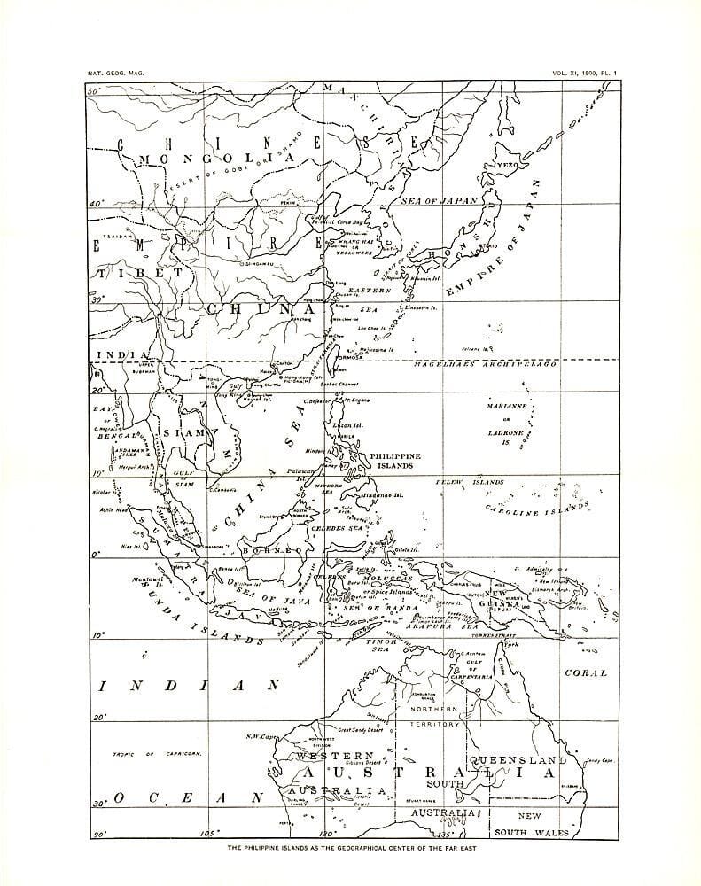
1900 Map of China, Korea and the Far East

Price
Regular price $3000
Regular price Sale price $3000
/
  • Shipped within 24 to 48h from our warehouse in the USA
  • All-inclusive price: customs duties are already paid by Cartovia
  • Free returns (*)
  • Real-time stock levels
  • Cartovia Guarantee – Delivery issue?
    We resend immediately upon receiving a simple photo.
  • In stock, ready to ship
  • Backordered, shipping soon
Tax included.

Frequently bought together:

This historic 1900 map of China, Korea and the Far East depicts the region during a period of major geopolitical change.

It was published two years after the Philippines came under U.S. control following the Spanish-American War.

An antique map for enthusiasts of East Asian history and cartography.


ISBN/EAN : 2321350M
Publication date: 1900
Unfolded dimensions: 10in / 12.5in
Language(s): English
Weight: 200 g