Hiking maps - Glacier & Waterton Lakes National Parks (Montana, Alberta), no. 313, 314, 315 (map pack) | National Geographic

Price
Regular price $5000
Regular price Sale price $5000
/
  • In stock in the USA and in the UK
    Shipped within 24 to 48h from the warehouse closest to you
  • All-inclusive price: customs duties are already paid by Cartovia
  • Free returns (*)
  • Real-time stock levels
  • Cartovia Guarantee – Delivery issue?
    We resend immediately upon receiving a simple photo.
  • In stock, ready to ship
  • Backordered, shipping soon
Tax included.

Frequently bought together:

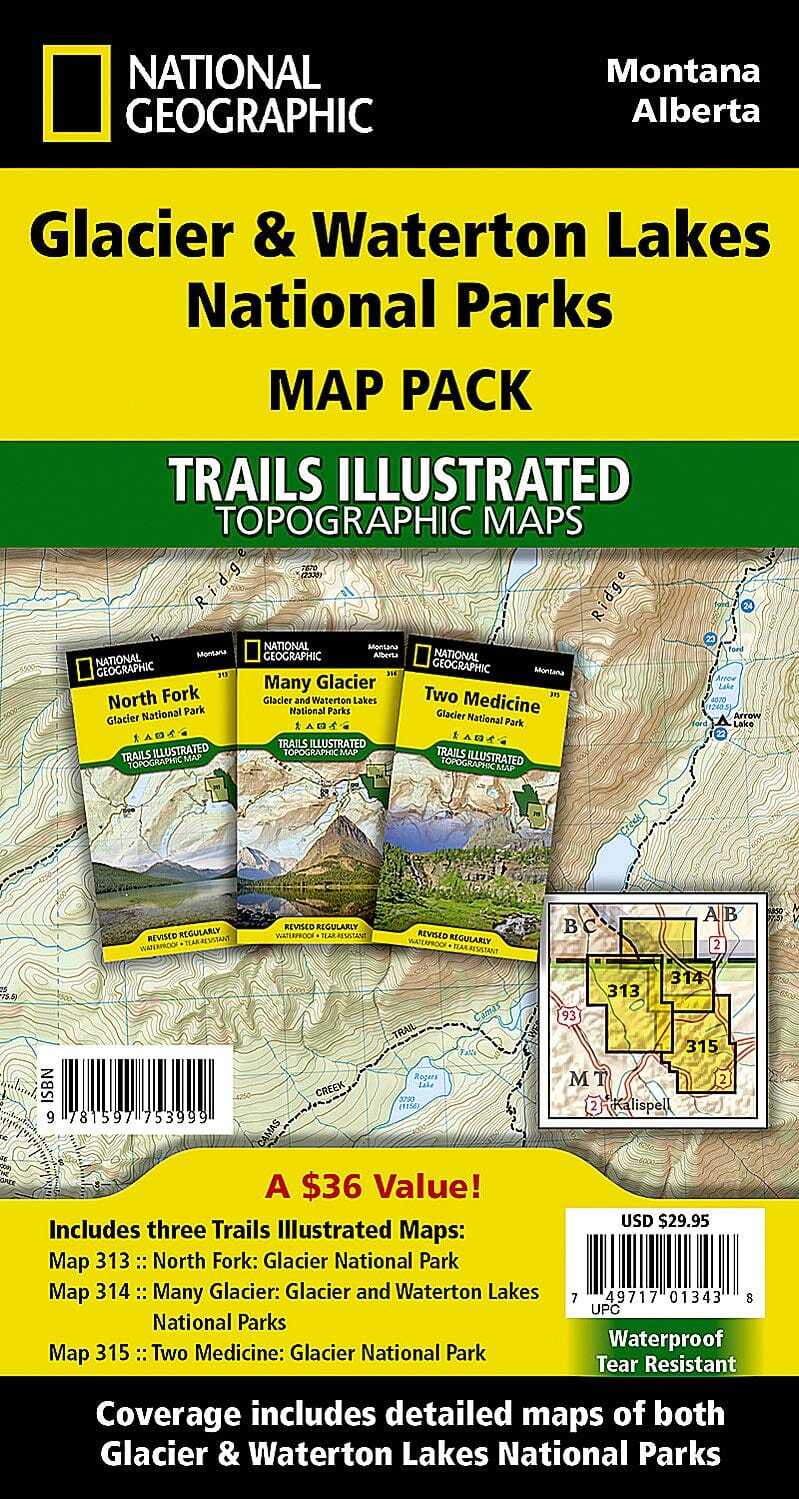
Topographic maps of Glacier and Waterton Lakes National Parks, Montana and Alberta, published by National Geographic.

In 1932, the United States and Canada created the world's first international peace park by combining Glacier National Park in Montana and Waterton Lakes National Park in Canada as Waterton-Glacier International Peace Park.

The three maps in this set cover the peace park in great detail. Two cover the much larger Glacier National Park, while one detailed map covers Waterton Lakes National Park. All three show dramatic glacially carved valleys and peaks, snow and water hazards, and a full trail network with clearly marked backcountry campsites.

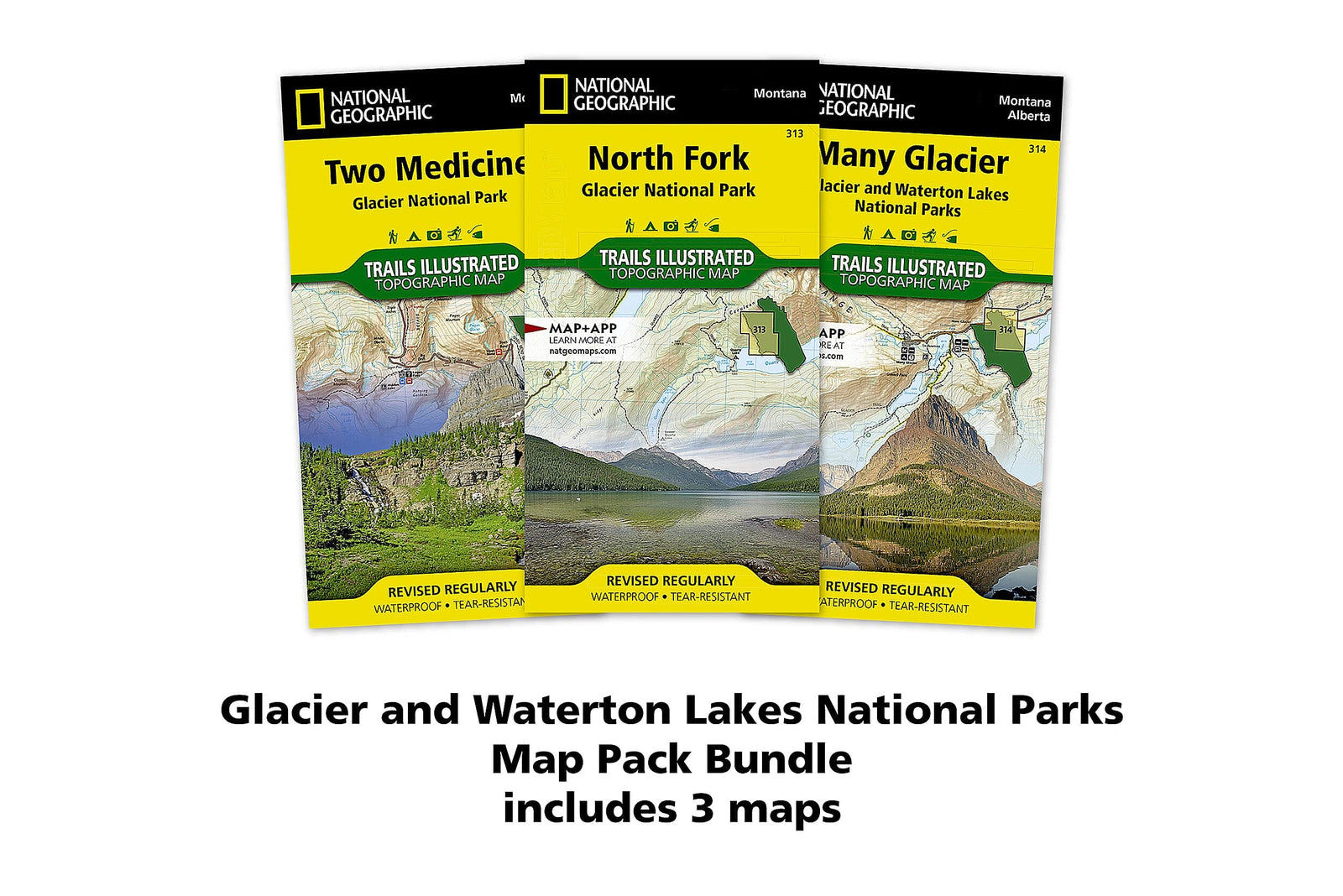
Maps included

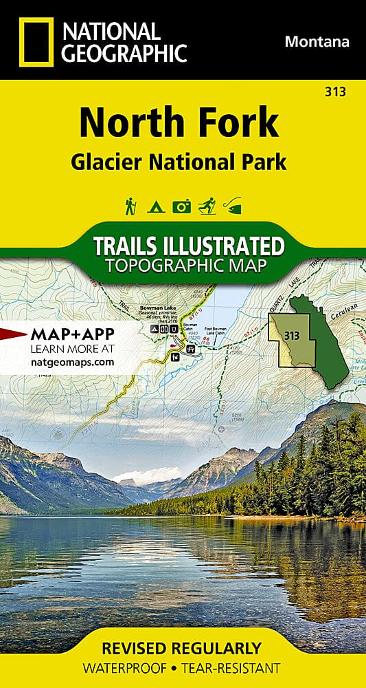
  • Map 313: North Fork - Glacier National Park.
  • Map 314: Many Glacier - Glacier and Waterton Lakes National Parks.
  • Map 315: Two Medicine - Glacier National Park.

Waterproof and tear-resistant topographic maps. Scale: 1:50 000.


ISBN/EAN : 9781597753999
Publication date: 2021
Scale: 1/50,000 (1cm=500m)
Printed sides: both sides
Folded dimensions: 7.48 inches x 3.94 inches (19 x 10 cm)
Unfolded dimensions: 24.8 x 36.61 inches (63 x 93cm)
Language(s): English
Weight: 320 g