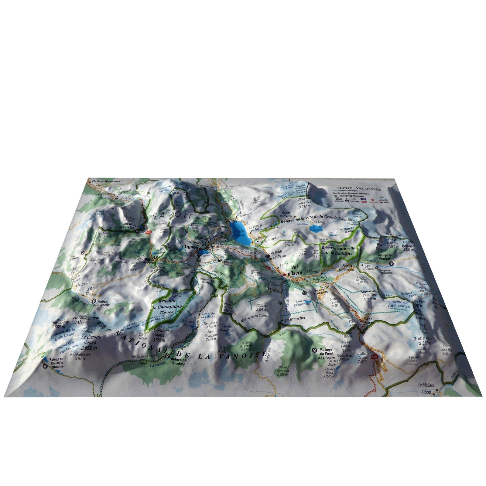
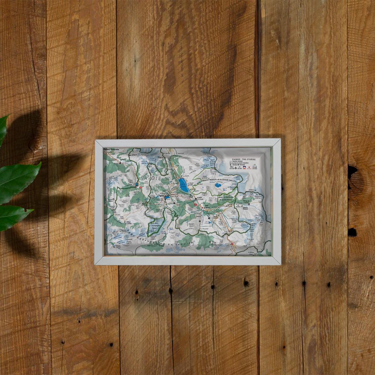
3D Raised relief map - Tignes - Val Isère Stations (19.5 cm x 29.5 cm) | 3D Map (French)
- Real-time inventory
-
Cartovia Guarantee – Delivery issue?
We resend immediately upon receiving a simple photo.
📦 Hard-to-find maps - worldwide shipping
📦 Hard-to-find maps & travel guides - worldwide shipping, 30-day returns
🌞 Summer travel: 20,000+ maps in stock
🌞 Plan your summer: 20,000+ maps and travel guides in stock Details →
✅ Latest editions guaranteed — since 2010
✅ Latest editions guaranteed - 180,000+ travellers equipped since 2010
Relief wall map that covers the Tignes - Val Isére ski resorts.
Information included on the map:
- General data:
• Hydrological, natural and hypsometric data - Administrative data
• Glaciers, vertices, rocks
- Sports Sites, Hiking:
• Great Hiking Trails
• Belvederes, Orientation Tables
• Refuge
• Alpina Ski Resorts
• Paragliding Practice Sites (www.ffvl. fr)
• Takeoffs, landings
• Airports, Aerodromes
- Scale & Dimensions:
• Planimetric scale: 1: 95 000
• Altimetry scale: 1: 95 000
• 19.5 cm x 29.5 cm
ISBN / EAN : 9791097206222
Date de publication : 2020
Echelle : 1/95,000 (1 cm = 950 m)
Dimensions déplié(e) : 19.5cm x 29.5cm
Langue : French
Poids :
32 g
The exclusive newsletter for travel and discovery enthusiasts!