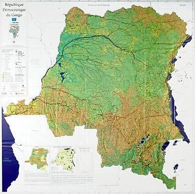
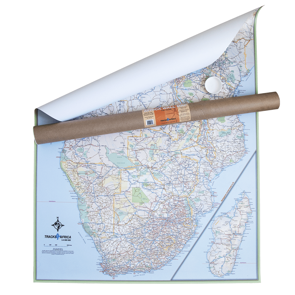
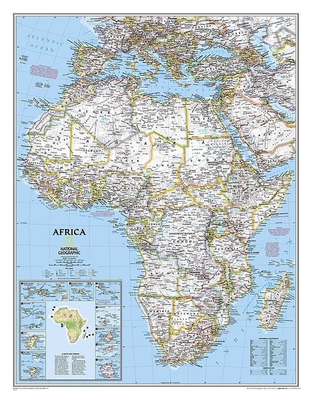
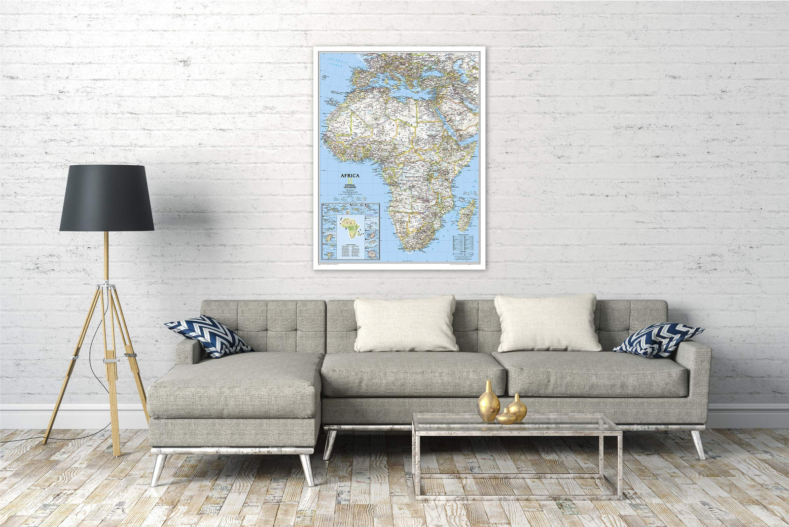
Wall Map - Democratic Republic of the Congo - 110 x 110 cm | UCL
- Shipping within 7 to 10 working days from our warehouse in France
- Delivery costs calculated instantly in the basket
Over 19,500 maps 🗺️ and travel guides, hiking maps, posters, globes, and decor in stock!
Explore the world, one map at a time 🗺️
Cartovia is rated Excellent ⭐️ on Trustpilot — 9,100+ reviews from explorers and map lovers worldwide.
Cartovia is rated Excellent ⭐️ on Trustpilot — 9,100+ reviews from explorers and map lovers worldwide
Wall map of the Democratic Republic of Congo. Based on multiple collaborations and recent scientific achievements in the field of remote sensing, the geomatics research team at the Catholic University of Louvain has gathered all the cartographic data on the territory of the DR Congo. The existing digital data were checked, updated, enriched from all available sources, and integrated into a Geographic Information System (GIS). Original information was produced by combining the latest satellite Earth observation techniques and the field knowledge of numerous national and international collaborators.
This work resulted in the creation of a new national map at a scale of 1:2,000,000, including all basic cartographic information (roads, cities and villages, rivers, infrastructure, etc.). This should support national policies in multiple areas.
Please note: This map may require a few additional days for shipping.
ISBN / EAN : 5425013061698
Langue : French
Poids :
150 g
The exclusive newsletter for travel and discovery enthusiasts!