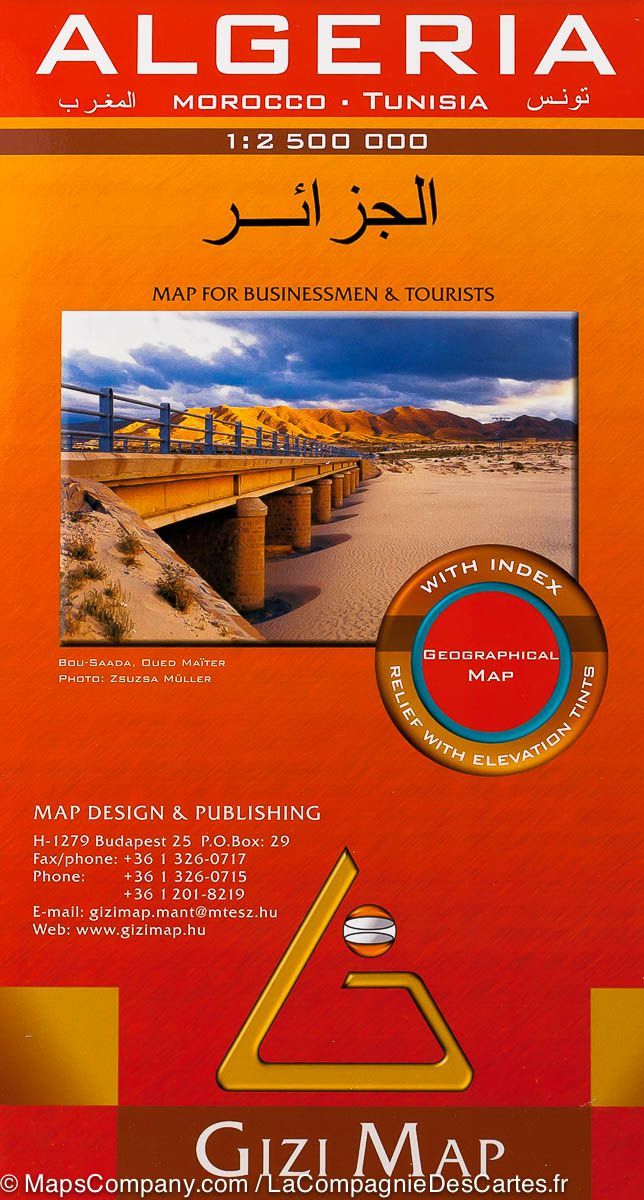
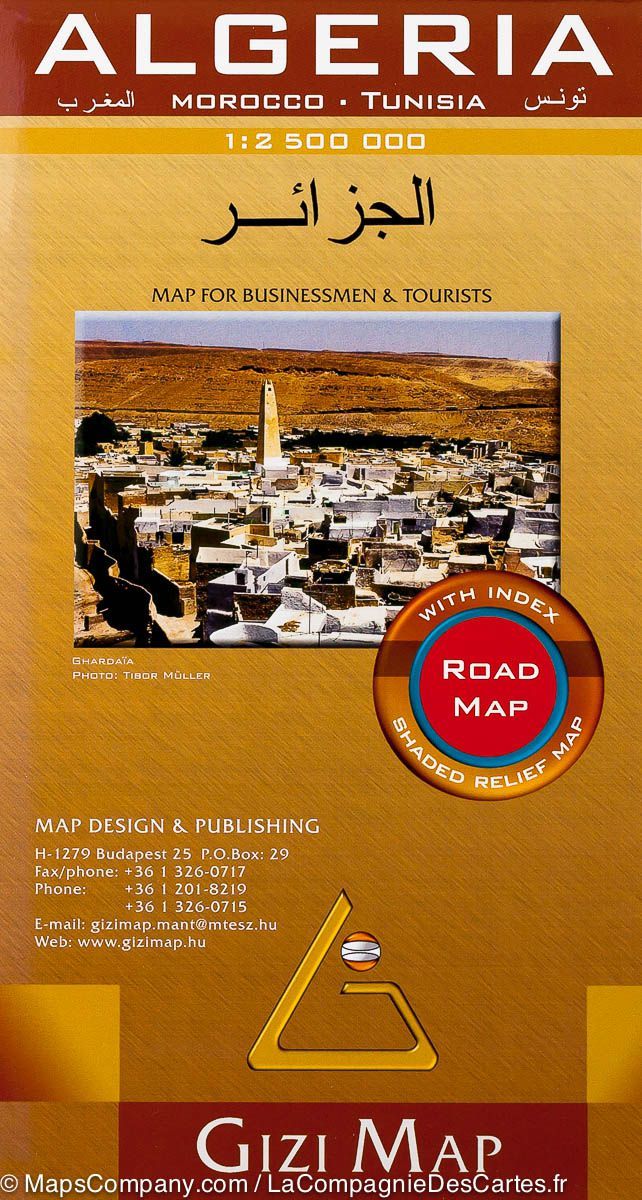
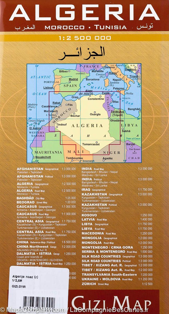
Geographical map - Algeria, Morocco & Tunisia | Gizi Map

Price
Regular price $2500
Regular price Sale price $2500
/
  • In stock in France and in the USA
    Shipped within 24 to 48h from the warehouse closest to you
  • All-inclusive price: customs duties are already paid by Cartovia
  • Free returns (*)
  • Real-time stock levels
  • Cartovia Guarantee – Delivery issue?
    We resend immediately upon receiving a simple photo.
  • In stock, ready to ship
  • Backordered, shipping soon
Tax included.

Frequently bought together:

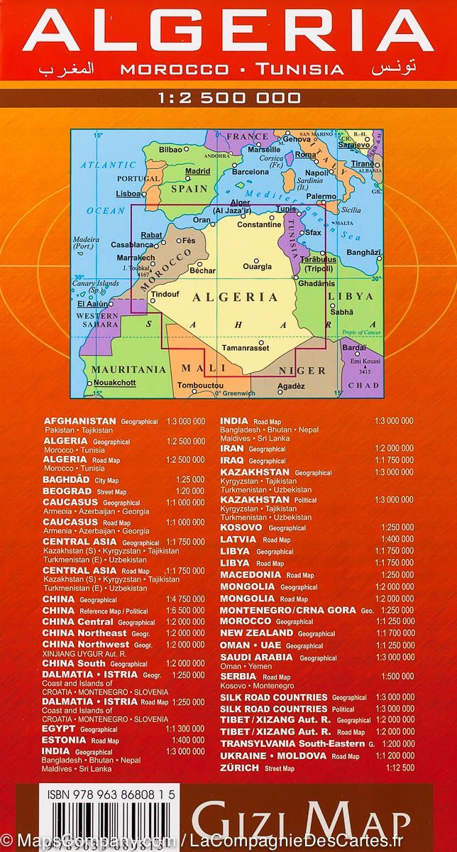
The detailed geographical map of Algeria, Morocco and Tunisia from Gizi Map represents topography using vivid elevation colours, numerous spot heights and the names of mountain ranges, deserts and other geographical features.

Map symbols distinguish stony and sandy deserts, salt flats, "swaps" and seasonal wadis. Symbols also locate oases and water wells.

  • Road network including desert tracks, with distances on main roads and many secondary roads.
  • Railways and local airports.
  • Oil or gas wells, pipelines and provincial administrative boundaries.
  • Places of interest: campsites, beaches, UNESCO World Heritage sites, rock paintings, archaeological remains and more.


ISBN/EAN : 9789638680815
Publication date: 2010
Scale: 1/2,500,000 (1cm=25km)
Printed sides: front
Folded dimensions: 24 x 13 x 1cm
Unfolded dimensions: 97 x 87cm
Language(s): multilingual (including French)
Weight: 111 g