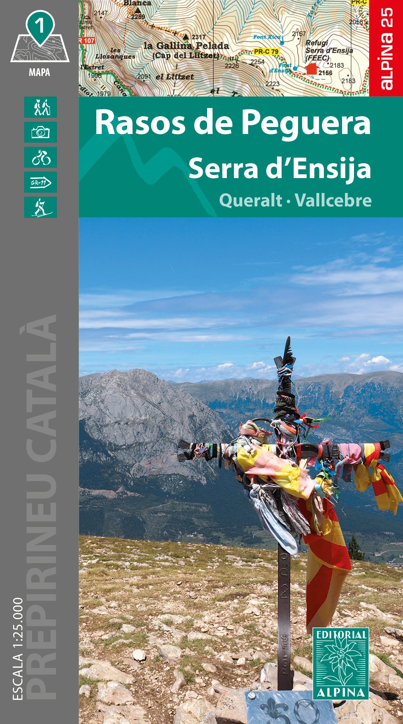
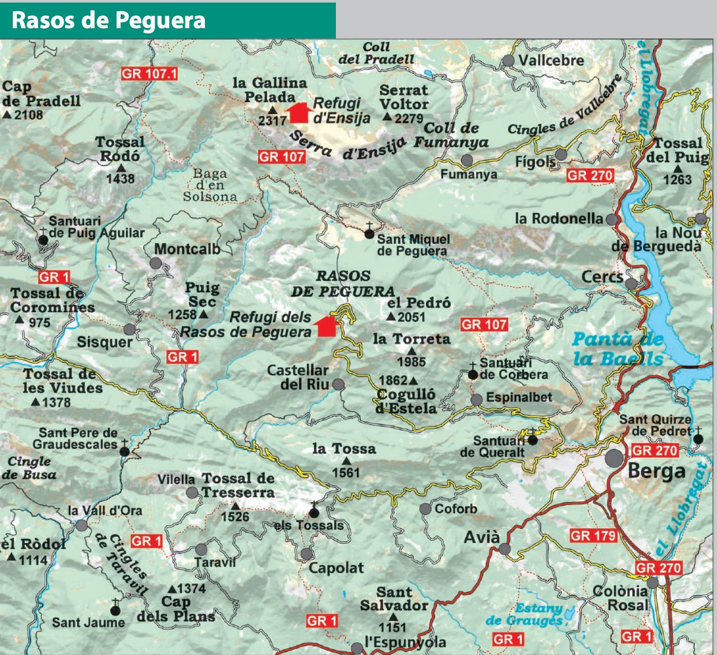
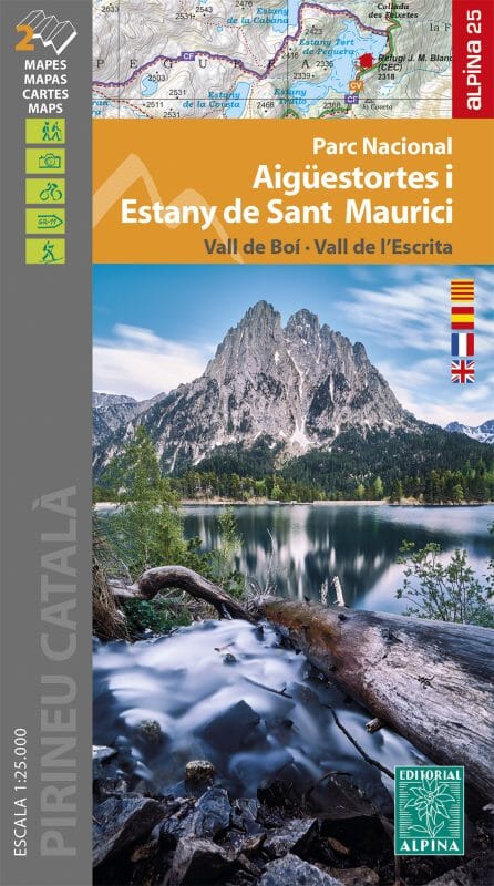
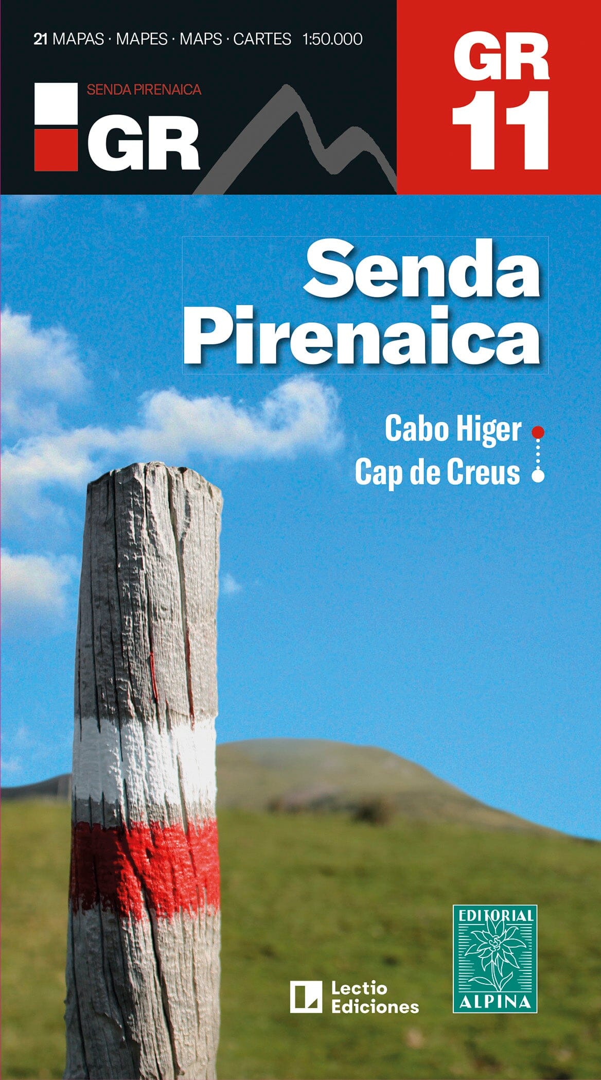
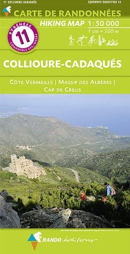
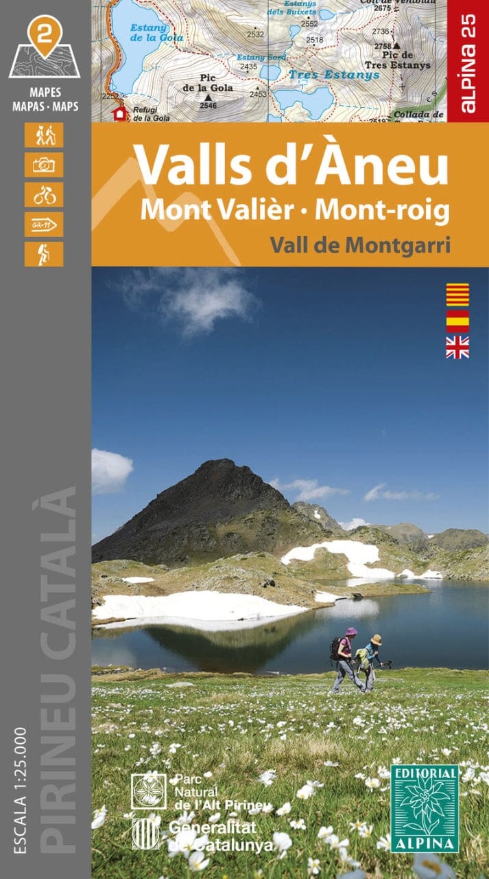
Hiking map - Rasos de Peguera, Serra Ensija, Queralt, Vallcebre (Catalonia) | Alpina
Regular price
$2800
Regular price
Sale price
$2800
/
- Shipped within 24 to 48h from our warehouse in France
- All-inclusive price: customs duties are already paid by Cartovia
- Free returns (*)
- Real-time stock levels
-
Cartovia Guarantee – Delivery issue?
We resend immediately upon receiving a simple photo.
- In stock, ready to ship