Set of 2 hiking maps - Ordesa & Monte Perdido National Park (Aragonese Pyrenees) | Alpina

Price
Regular price $2800
Regular price Sale price $2800
/
  • Shipped within 24 to 48h from our warehouse in France
  • All-inclusive price: customs duties are already paid by Cartovia
  • Free returns (*)
  • Real-time stock levels
  • Cartovia Guarantee – Delivery issue?
    We resend immediately upon receiving a simple photo.
  • In stock, ready to ship
  • Backordered, shipping soon
Tax included.

Frequently bought together:

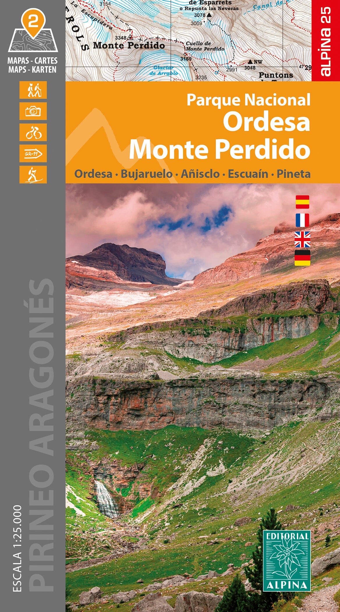
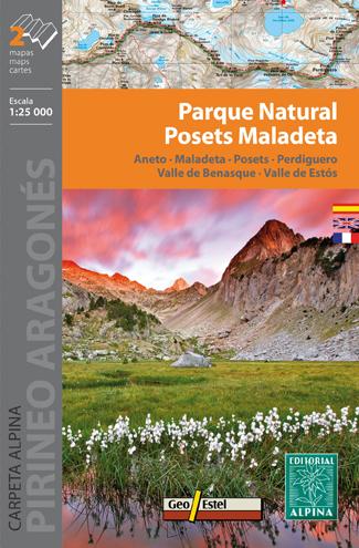
Detailed topographic maps of Ordesa and Monte Perdido National Park.

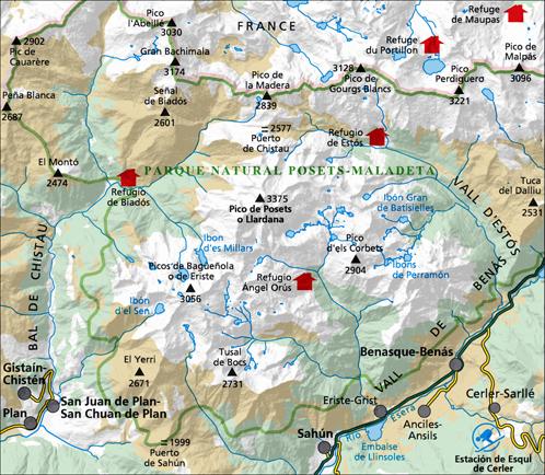
Coverage: Ordesa y Monte Perdido National Park, the Aragonese Pyrenees and Sobrarbe; the Ordesa Valley, Pineta, Añisclo, Gavarnie and Monte Perdido areas.

This set includes two separate hiking maps: one covers the Ordesa Valley and Monte Perdido; the other covers the Añisclo and Pineta valleys.

Map features

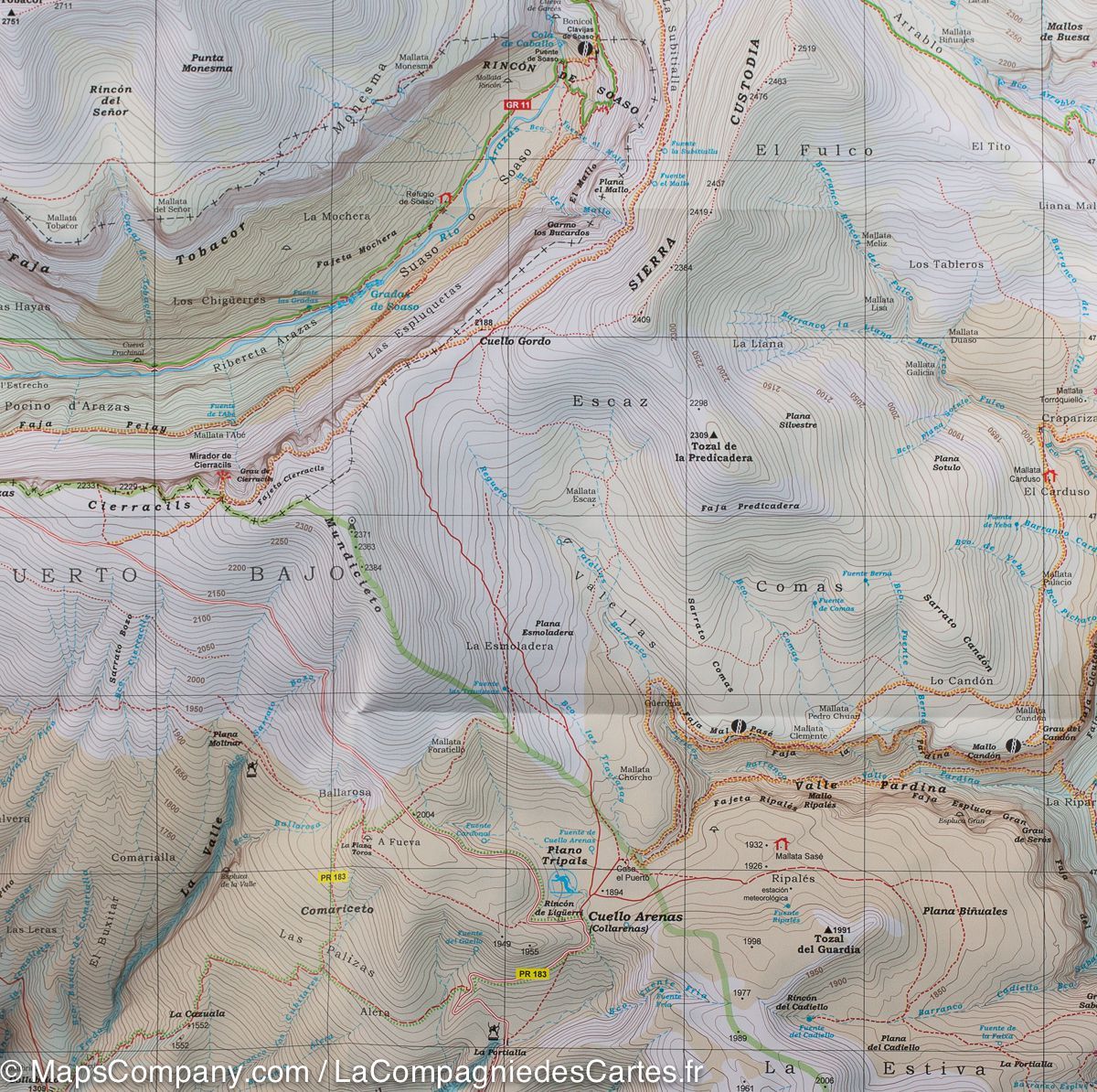
Topographic maps at 1:25,000 with information for hikers, including shelters, waymarked routes (GR, PR and local trails), mountain paths and more.

The fold-out flap includes:

  • Staffed mountain huts.
  • Hikes.
  • Geographical information.
  • Must-see sites.


ISBN/EAN : 9788480909952
Publication date: 2024
Scale: 1/25,000 (1cm=250m)
Printed sides: front
Folded dimensions: 21 x 11 x 0.5cm
Unfolded dimensions: 86 x 68cm
Language(s): French, English, German, Castilian
Weight: 143 g