Hiking map - Cerdanya (Catalan Pyrenees) | Alpina

Price
Regular price $2500
Regular price Sale price $2500
/
  • Shipped within 24 to 48h from our warehouse in France
  • All-inclusive price: customs duties are already paid by Cartovia
  • Free returns (*)
  • Real-time stock levels
  • Cartovia Guarantee – Delivery issue?
    We resend immediately upon receiving a simple photo.
  • In stock, ready to ship
  • Backordered, shipping soon
Tax included.

Frequently bought together:

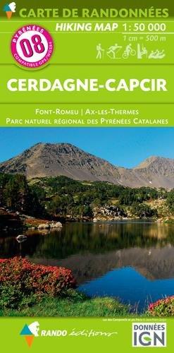
New map of Cerdanya, bringing together the region's entire network of waymarked trails, updated and shown with clearer, more visual symbols.

From the Cerdanya plain, crossed by the Segre River, to the majestic surrounding mountains approaching 3,000 metres, Cerdanya is one of the Pyrenees' most distinctive and attractive natural regions.

Area covered

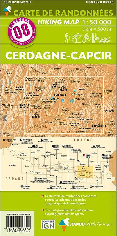
The Catalan Pyrenees, upper Segre Valley, Upper and Lower Cerdanya, Capcir and Baridà.

Features

Topographic map at 1:50,000, with information including waymarked routes (GR and PR), paths, mountain huts, waterfalls and more.

The fold-out flap includes:

  • Mountain huts.
  • Natural parks.
  • Must-see sites.


ISBN/EAN : 9788470111914
Publication date: 2025
Scale: 1/50,000 (1cm=500m)
Printed sides: front
Folded dimensions: 21 x 12.5 x 1cm
Unfolded dimensions: 127 x 84cm
Language(s): French, English, Castilian, Catalan
Weight: 234 g