Wall map (English) - Holy Land - 53 x 80 cm | National Geographic

Finishing
Price
Regular price $4300
Regular price Sale price $4300
/
  • In stock in France and in the USA
    Shipped within 24 to 48h from the warehouse closest to you
  • All-inclusive price: customs duties are already paid by Cartovia
  • Real-time inventory
  • Cartovia Guarantee – Delivery issue?
    We resend immediately upon receiving a simple photo.
  • In stock, ready to ship
  • Backordered, shipping soon
Tax included.

Often purchased together:

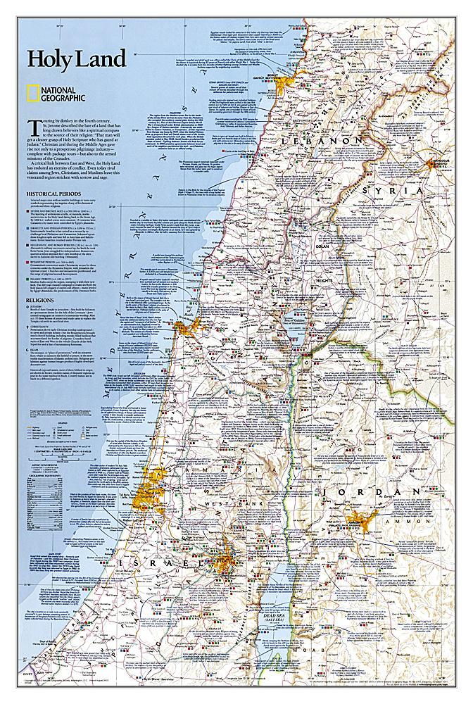
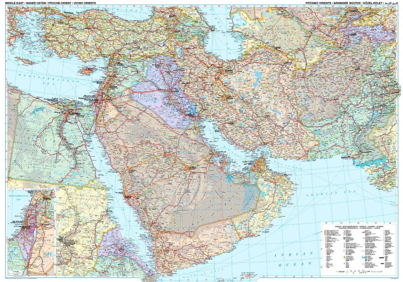
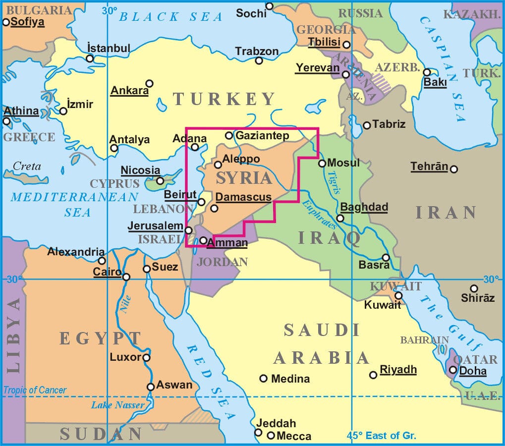
This wall map of the Holy Land, published by National Geographic, is in English and measures 53 x 80 cm.

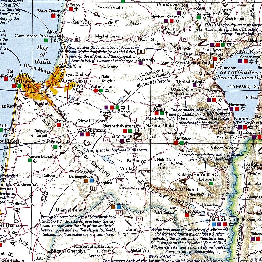
This detailed political map provides information about important religious sites as well as Judaism, Christianity and Islam. It covers historical periods from the Stone Age and Bronze Age through the Islamic period up to 1917.

Cities, bodies of water, geographical features, ruins, Israeli settlements and transport infrastructure, including motorways, roads, railways, canals and airports, are shown. Coverage includes Lebanon, Syria, Jordan and Israel.

Designed for display, the map is supplied rolled in a protective plastic tube and is available in paper or laminated versions.


Publication date: 2003
Printed sides: front
Unfolded dimensions: 53x80cm
Language(s): English