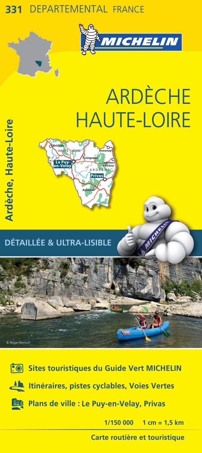
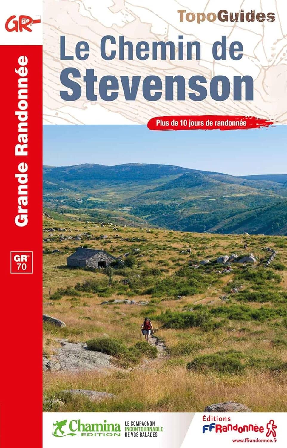
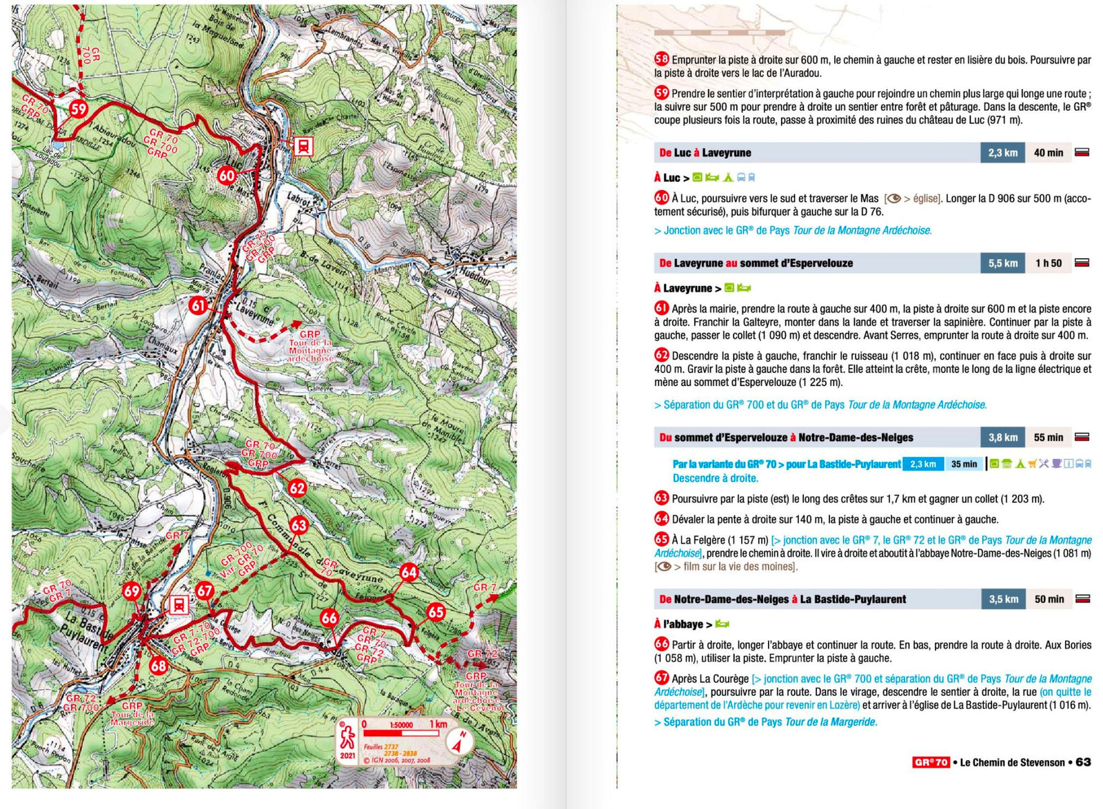
Hiking guide - Source and Gorges de la Loire | FFR (French)
- Shipping within 24 working hours from our warehouse in France
- Choose your delivery method and cost at checkout, before confirming your order.
- Free returns (*)
- Real-time inventory
Over 19,500 maps 🗺️ and travel guides, hiking maps, posters, globes, and decor in stock!
Explore the world, one map at a time 🗺️
Cartovia is rated Excellent ⭐️ on Trustpilot — 9,100+ reviews from explorers and map lovers worldwide.
Cartovia is rated Excellent ⭐️ on Trustpilot — 9,100+ reviews from explorers and map lovers worldwide
Topoguide of the "Great Hiking" collection which describes hiking D threshold the sources of the Loire until the gates of Saint - Etienne. 12 days of hiking. Description In the 2 directions on 180 km with the GR span> ® sup> 302. Span> p>
There is no schoolboy who ignores the source of the Loire: Mount Gerbier - de - Jonc, on the Ardèche Plateau. This famous volcano is the starting point of the longest river in France, but it is also that of GR® 3, the Path of the Loire. Here is the first section of this itinerary, where the trail follows a Loire still young and wild through the gorges that she has shaped on the eastern side of the central massif, from the confines of the Ardèche to the gates of Saint - Étienne. span> p>
ISBN/EAN : 9782751411205
Publication date: 2021
Pagination: 128 pages
Folded dimensions: 21x13cm
Language(s): French
Weight:
132 g
The exclusive newsletter for travel and discovery enthusiasts!