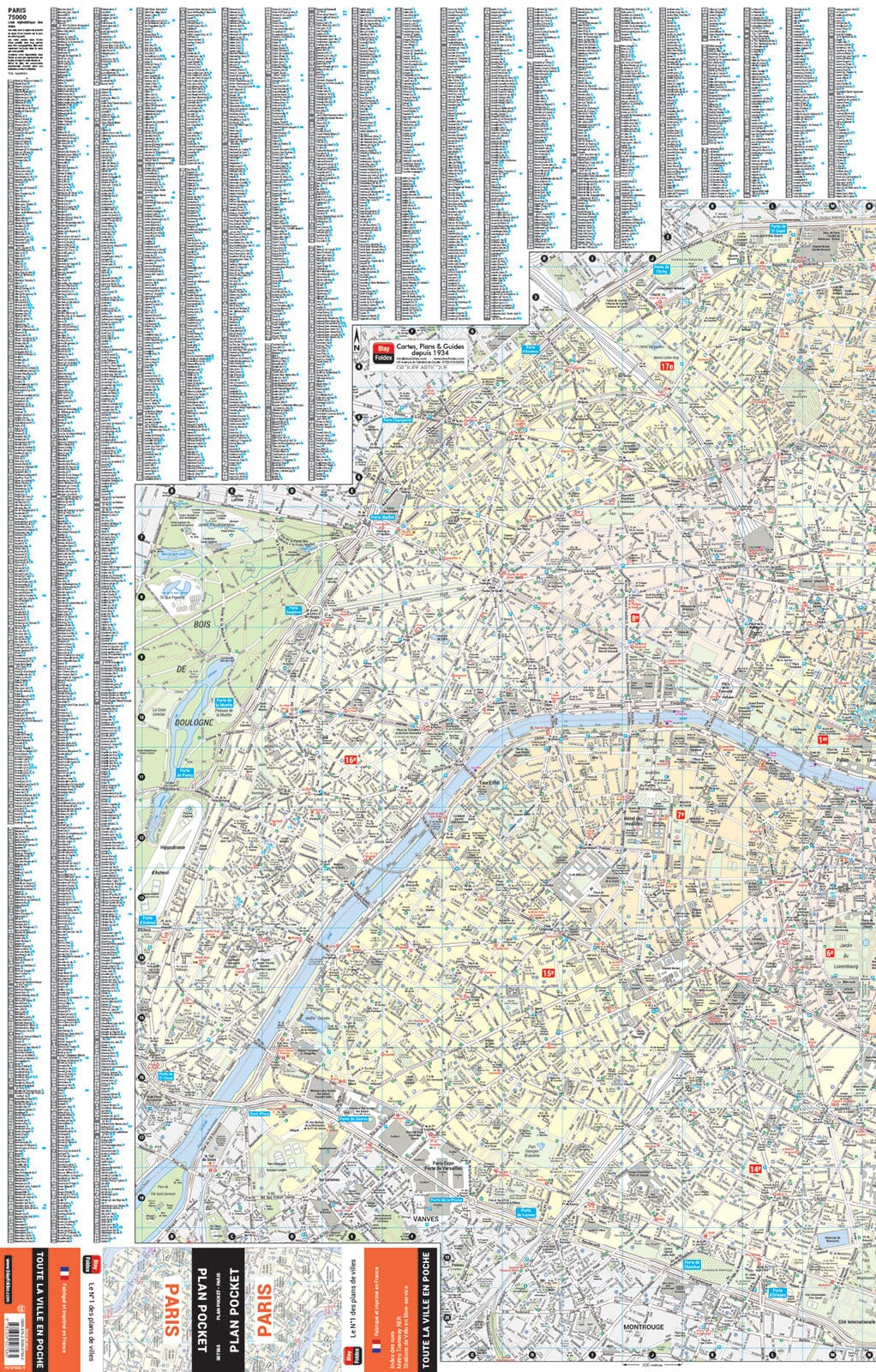
Central Paris plus Montmartre on a Red Maps tourist street plan presented in a practical concertina format and printed on thick, high-quality paper, with thematic indexes for tourist sights, hotels, shopping, etc.
The map covers Paris from Monet's Musée Marmottan, near the Bois de Boulogne, to Opéra Bastille, and north to south from Gare Saint-Lazare to the top of the Jardin du Luxembourg.
Rather than giving the map scale in the traditional ratio, the publishers state that the coverage is 8.25 km/5.1 miles westward and 4 km/2.5 miles north/south (in fact approximately 1:17,625). On the reverse, a separate panel shows the Montmartre district.
The map names tourist sights and important buildings, entertainment venues, selected hotels, etc. The main shopping streets are also highlighted with the names of selected individual shops. Metro/RER stations and connections are very clearly shown.
Beside the main map and on the reverse are thematic lists of sights and important buildings, hotels, etc. A special panel provides area-by-area recommendations for shops (mainly fashion). A brief index lists a selection of districts and streets/areas as well as a handful of metro or train stations.