Carte en relief - Rennes-Le-Chateau Bugarach - 21 x 31 cm | Relief Editions carte en relief Reliefs Editions

3D Relief Map - Rennes-Le-Chateau Bugarach - 21 x 31 cm | Relief Editions

Price
Regular price $2600
Regular price Sale price $2600
/
  • Ships within 5 to 8 working days
    (Currently in transit to our warehouse in France)
  • Cartovia Guarantee – Delivery issue?
    We resend immediately upon receiving a simple photo.
Tax included.

Often purchased together:

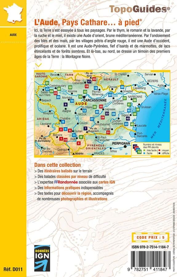
The relief map of Rennes-le-Château - Bugarach and its Cathar and Templar sites features castles and citadels, notable sites and all the municipalities in the area. It covers the region from Quillan to Tautavel, including Rennes-le-Château, Pic de Bugarach, the Gorges de Galamus, the castles of Peyrepertuse, Quéribus, Padern, Aguilar and many others.
This completely new perspective helps showcase the natural and cultural heritage of this region, which can be explored with both your eyes and your fingertips!

  • Location: Aude and Pyrénées-Orientales.
  • Highest point: Montagne de Cabrixa - 1 595 metres in the municipality of Montfort-sur-Boulzane
  • Elevation range: from 170 to 1 495 metres.
  • Scale: 0.7 cm = 2 km


ISBN/EAN : 9782361681210
Printed sides: front
Unfolded dimensions: 21x31cm
Language(s): French
Weight: 50 g