Hiking map - CostaBona & High Valley (Catalan Pyrenees) | Alpina

Price
Regular price $2500
Regular price Sale price $2500
/
  • Shipped within 24 to 48h from our warehouse in France
  • All-inclusive price: customs duties are already paid by Cartovia
  • Free returns (*)
  • Real-time stock levels
  • Cartovia Guarantee – Delivery issue?
    We resend immediately upon receiving a simple photo.
  • In stock, ready to ship
  • Backordered, shipping soon
Tax included.

Frequently bought together:

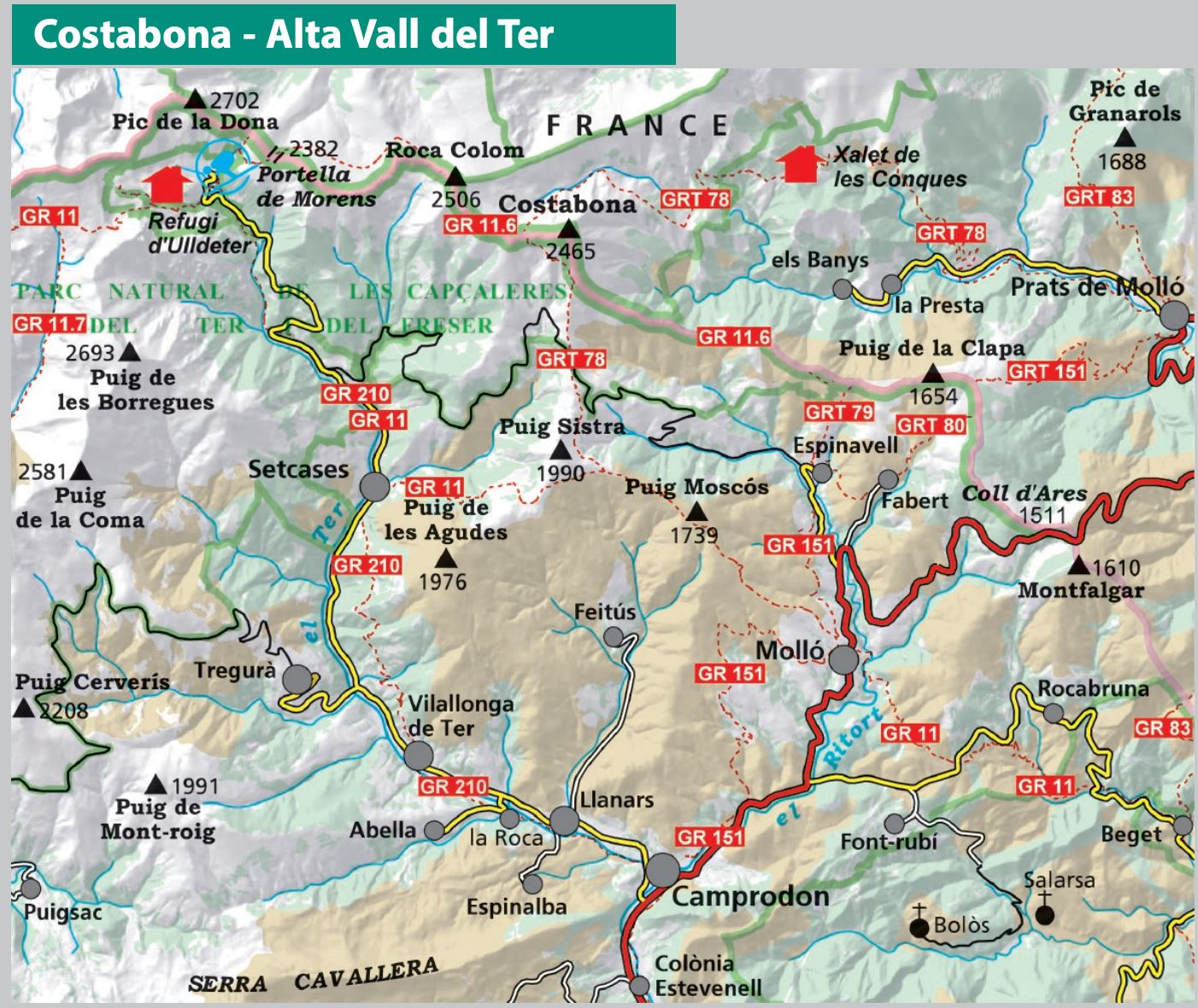
Explore the upper Ter valley and Costabona with this Alpina topographic map at 1:25,000. It covers the Camprodon valley up to the French border, in the heart of the Eastern Catalan Pyrenees, and offers detailed mapping for hiking.

🥾 A map to discover the Catalan Pyrenees

This map covers the entire upper Ter valley, crossed by the rivers Ter, Ritort, and Ritortell, as well as areas connected to the Fluvià and Tech basins. It allows you to explore a territory renowned for its diverse landscapes and numerous hiking trails.

🗺️ Cartographic information

  • Scale: 1:25,000
  • Marked trails Itinerànnia, GR, PR and SL
  • Trail network
  • Main points of interest

📖 The flap includes

  • Hiking suggestions
  • Practical information
  • Must-see sites


ISBN/EAN : 9788470112232
Publication date: 2026
Scale: 1/25,000 (1cm=250m)
Printed sides: front
Folded dimensions: 21 x 12.5 x 1cm
Unfolded dimensions: 90x100cm
Language(s): French, English, Castilian, Catalan
Weight: 118 g