Pacific Crest Trail : California Sierra Nevada (lot de cartes) | National Geographic carte de randonnée National Geographic

Pacific Crest Trail : California Sierra Nevada (map pack) | National Geographic

Price
Regular price $4100
Regular price Sale price $4100
/
  • In stock in the USA and in the UK
    Shipped within 24 to 48h from the warehouse closest to you
  • All-inclusive price: customs duties are already paid by Cartovia
  • Free returns (*)
  • Real-time stock levels
  • Cartovia Guarantee – Delivery issue?
    We resend immediately upon receiving a simple photo.
  • In stock, ready to ship
  • Backordered, shipping soon
Tax included.

Frequently bought together:

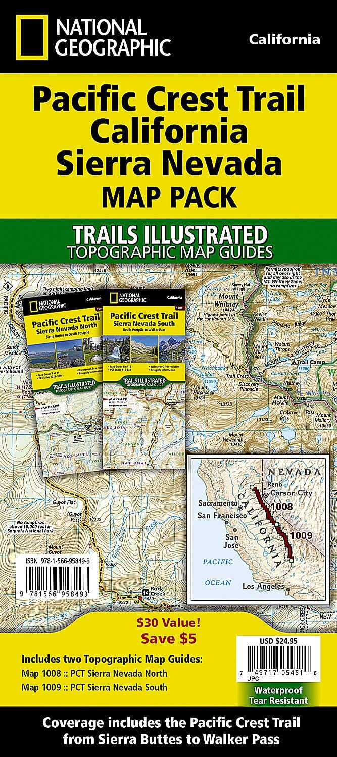
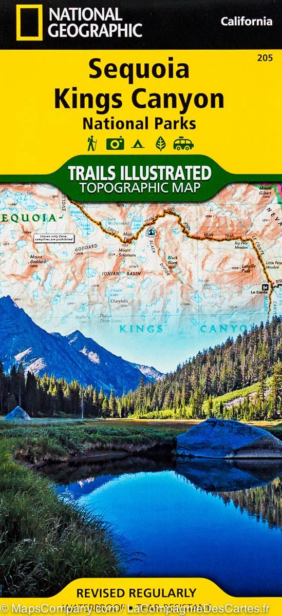
The Pacific Crest Trail: California Sierra Nevada map pack contains two topographic map guides covering the PCT through the rugged Sierra Nevada.

As the trail enters the range, elevations increase and granite spires shaped by ancient glaciers dominate the landscape. This section crosses Yosemite, Sequoia and Kings Canyon National Parks. The PCT reaches its highest point at Forester Pass, on the boundary between Sequoia and Kings Canyon National Parks.

The PCT runs 2,650 miles from the Canadian border through Washington, Oregon and California to the Mexican border. It crosses six national parks, 25 national forests and 48 wilderness areas, including the volcanic Cascades of the Pacific Northwest, the snowy Sierra Nevada and the Mojave and Sonoran Deserts.

Each topographic map guide includes detailed mapping of the area.


ISBN/EAN : 9781566958493
Publication date: 2020
Folded dimensions: 9.25 inches x 4.25 inches (23 x 10 cm)
Language(s): English
Weight: 0 g