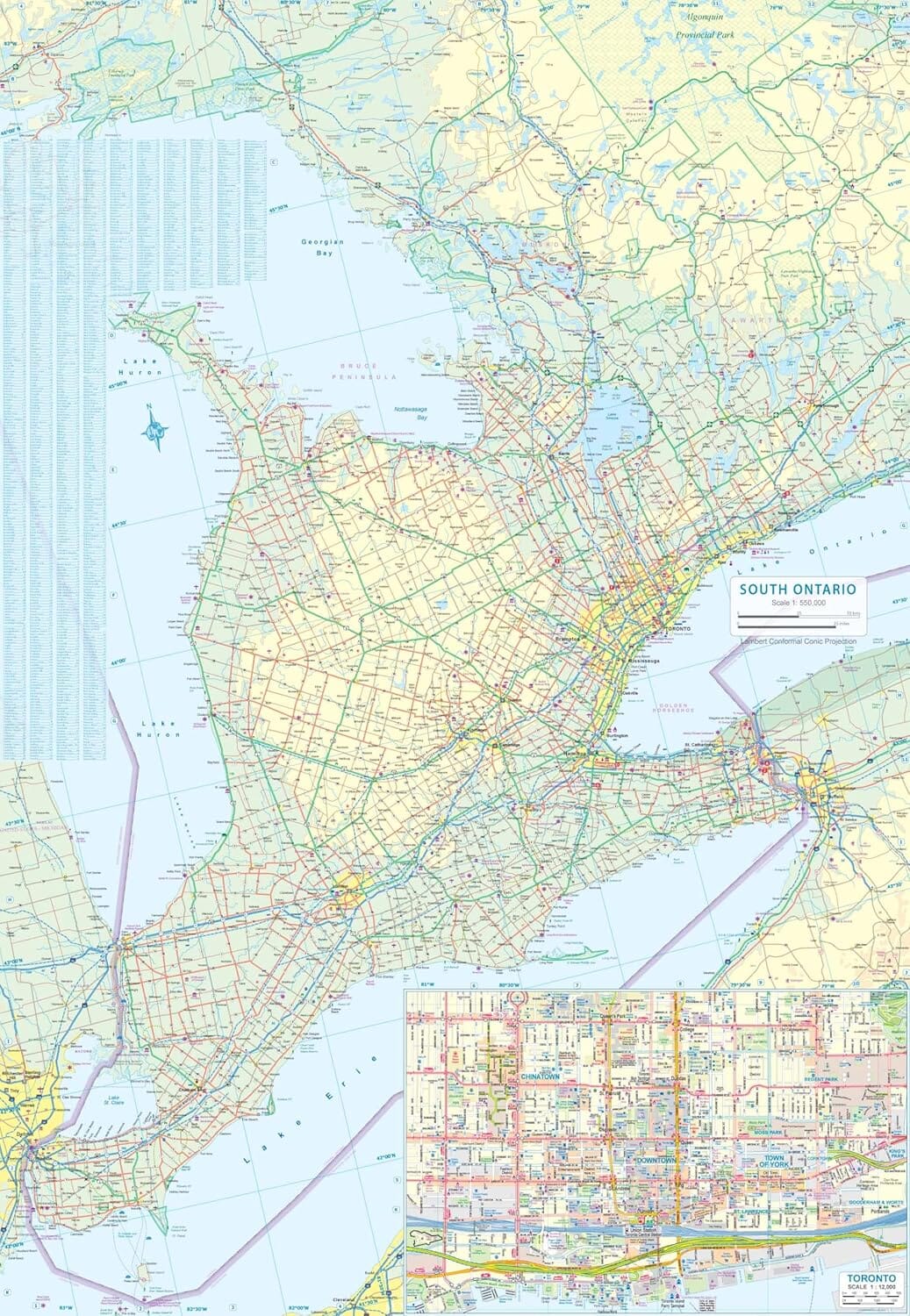
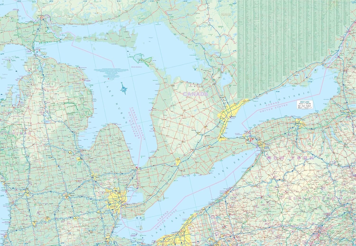
The Kitchener & Waterloo Street Atlas from CCC Maps has all the features to make even unfamiliar areas easy to navigate. Includes city maps of: Aberfoyle, Arthur, Ayr, Baden, Brantford, Breslau, Cambridge, Conestogo, Delhi, Elmira, Elora, Erin, Fergus, Guelph, Heidelberg, Kitchener, Mannheim, Morriston, New Dundee, New Hamburg, Paris, Port Dover, Rockwood, St. Clements, St. Jacobs, Simcoe, Waterford, and Waterloo. Includes regional maps, arenas, golf courses, parks, points of interest, hospitals, schools, skiing, and much more.


