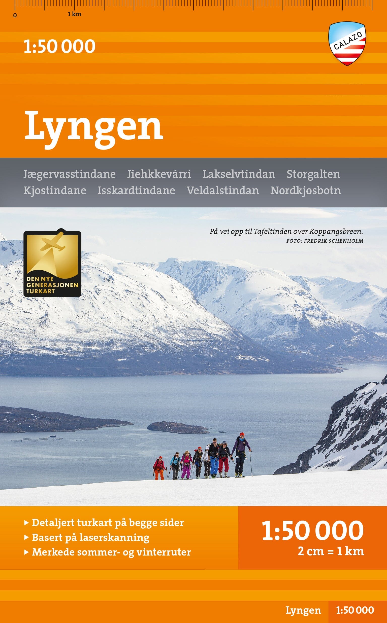
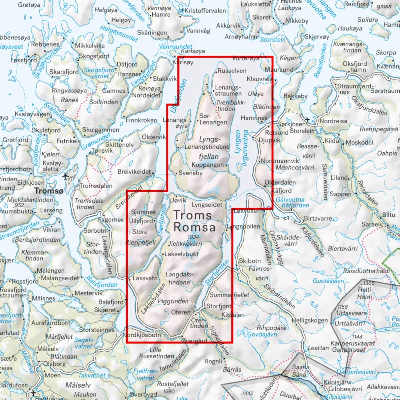
The Lyseheiane, Sirdalsheiane & Northern Setesdal Vesthei hiking map, at 1:50,000, published by Calazo, covers a vast area of mountains and plateaus in southwestern Norway, renowned for its wild landscapes and outstanding hiking routes.
Printed on both sides, it covers Ryfylkeheiane, Lyseheiane, Sirdalsheiane and the northern part of Setesdal Vesthei. The SignaTur Ryger route, linking Storsteinen in the north with Blåfjellenden in the south, is clearly marked, making it ideal for planning and undertaking multi-day hikes.
It is part of Calazo's modern series, known for its exceptional cartographic precision. Topographic data from airborne laser surveys (LIDAR) provide remarkable detail of the terrain, valleys, plateaus and mountain areas.
The map shows mountain huts managed by DNT, the Norwegian Trekking Association, as well as other accommodation and the region's waymarked hiking trails. It is also well suited to winter use, with winter routes and groomed ski trails included.
Versatile and reliable, it is an essential tool for summer hiking, ski touring and outdoor activities in one of Norway's most spectacular regions.