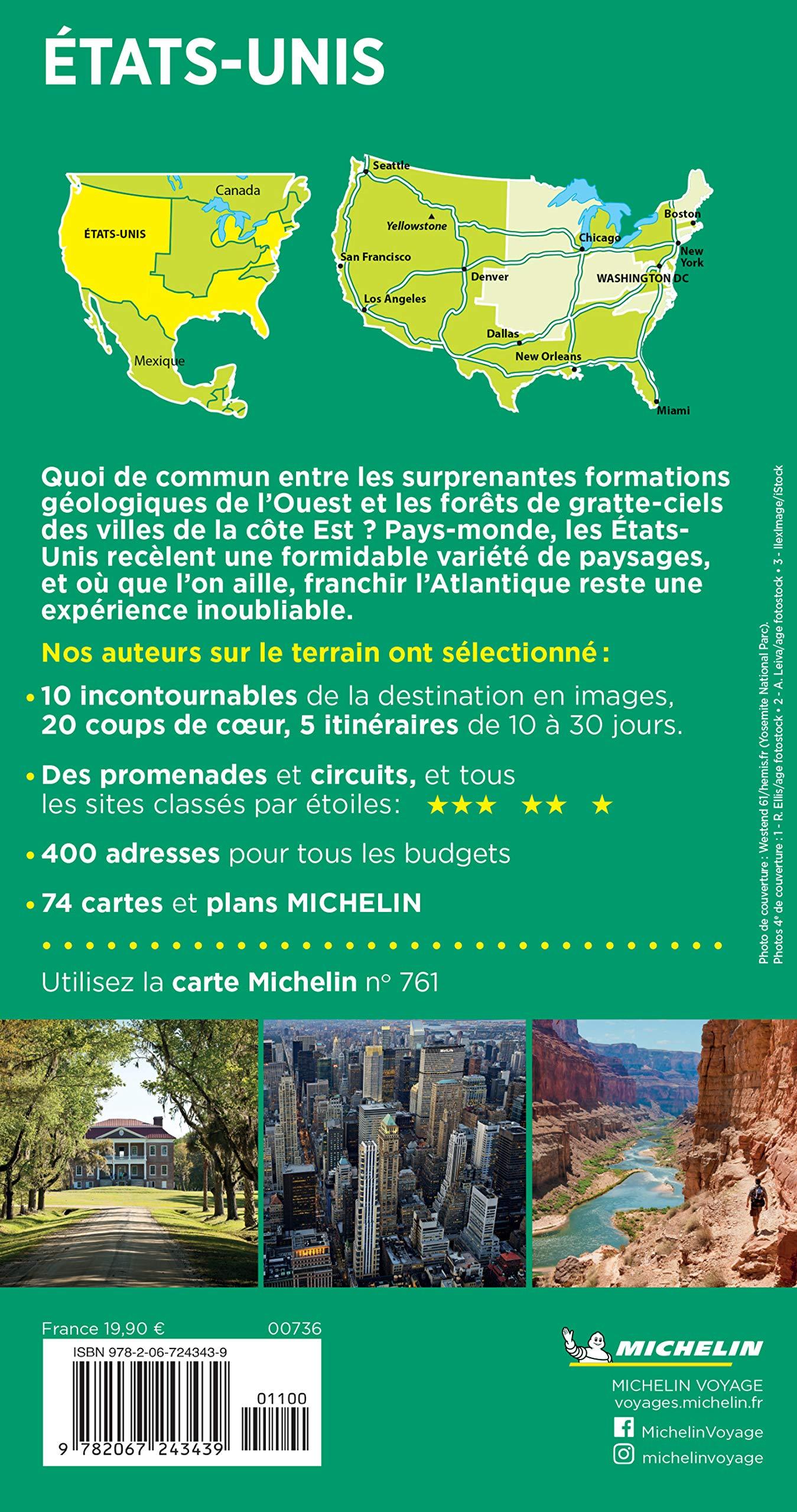
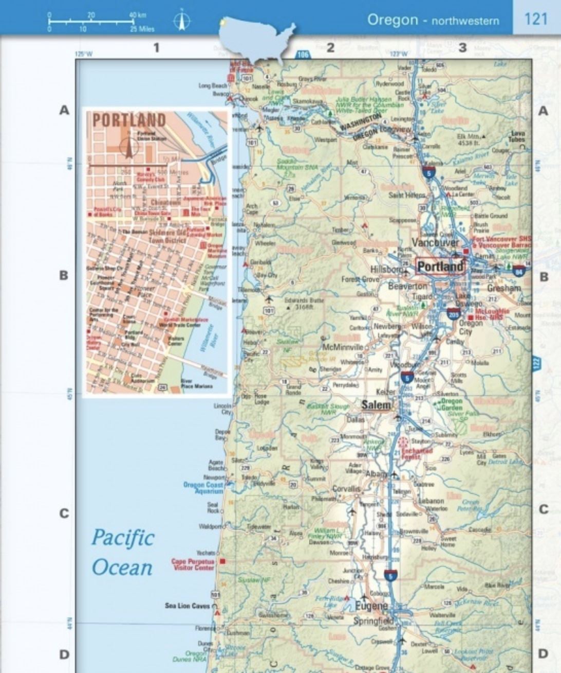
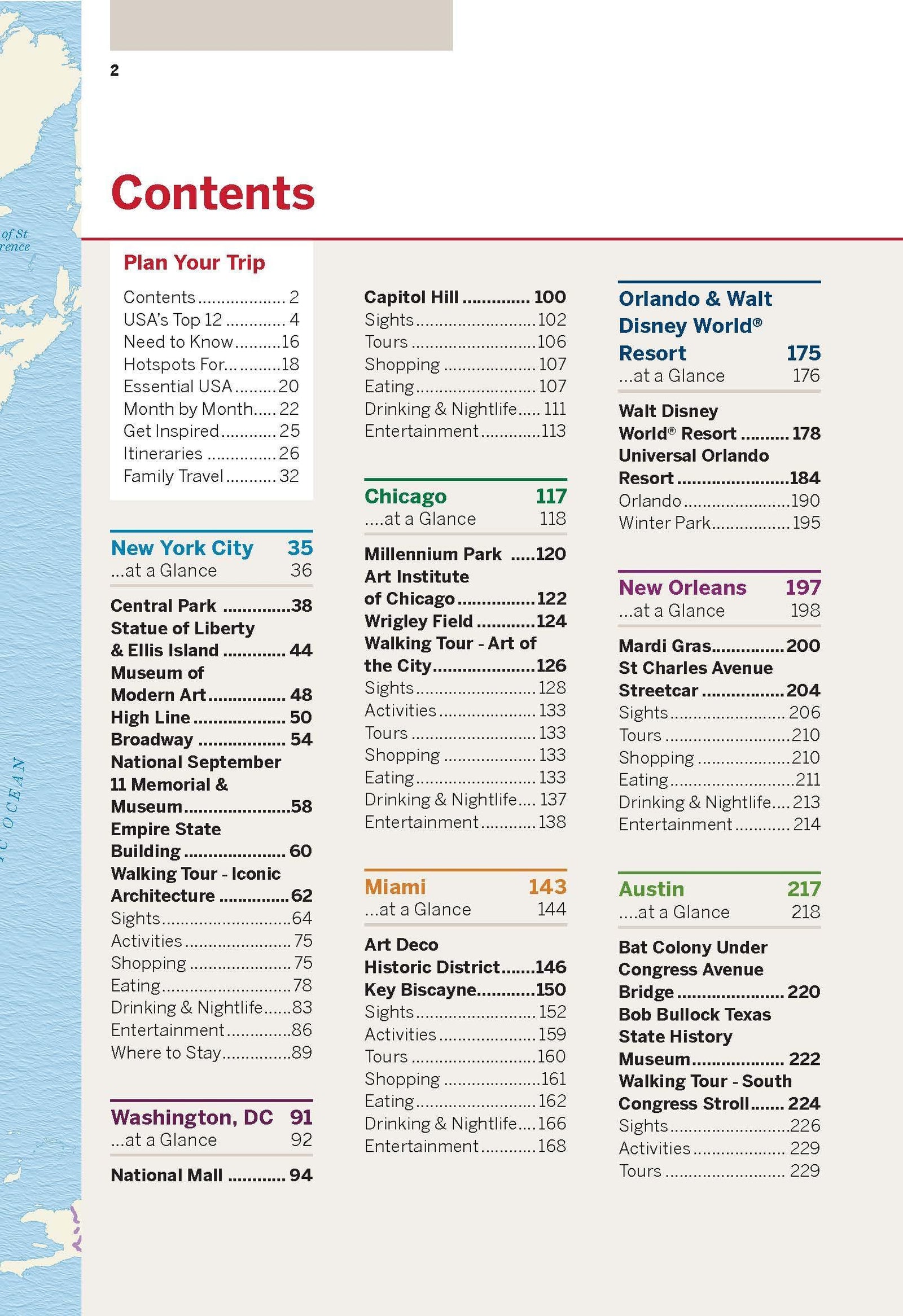
This map of the USA includes a political map showing states, cities, and other landmarks, and a physical map showing landforms such as mountain ranges and rivers.
- Clearly defined borders, major cities and physical features
- Hundreds of carefully placed place names to maintain readability in densely populated areas.
- Includes the United States and areas adjacent to Canada and Mexico.
- Detailed physical map of the United States with mountain ranges, plains, lakes and rivers.
- Flags and facts with detailed information on the cultural and physical characteristics of each state
This map is waterproof and tear resistant .


