Hiking map No. 739 - Eastern Baltic Sea, from Wismar to Usedom (Germany) | Kompass

Price
Regular price $3500
Regular price Sale price $3500
/
  • Shipped within 24 to 48h from our warehouse in France
  • All-inclusive price: customs duties are already paid by Cartovia
  • Free returns (*)
  • Real-time stock levels
  • Cartovia Guarantee – Delivery issue?
    We resend immediately upon receiving a simple photo.
  • Low stock - 2 items left
  • Backordered, shipping soon
Tax included.

Frequently bought together:

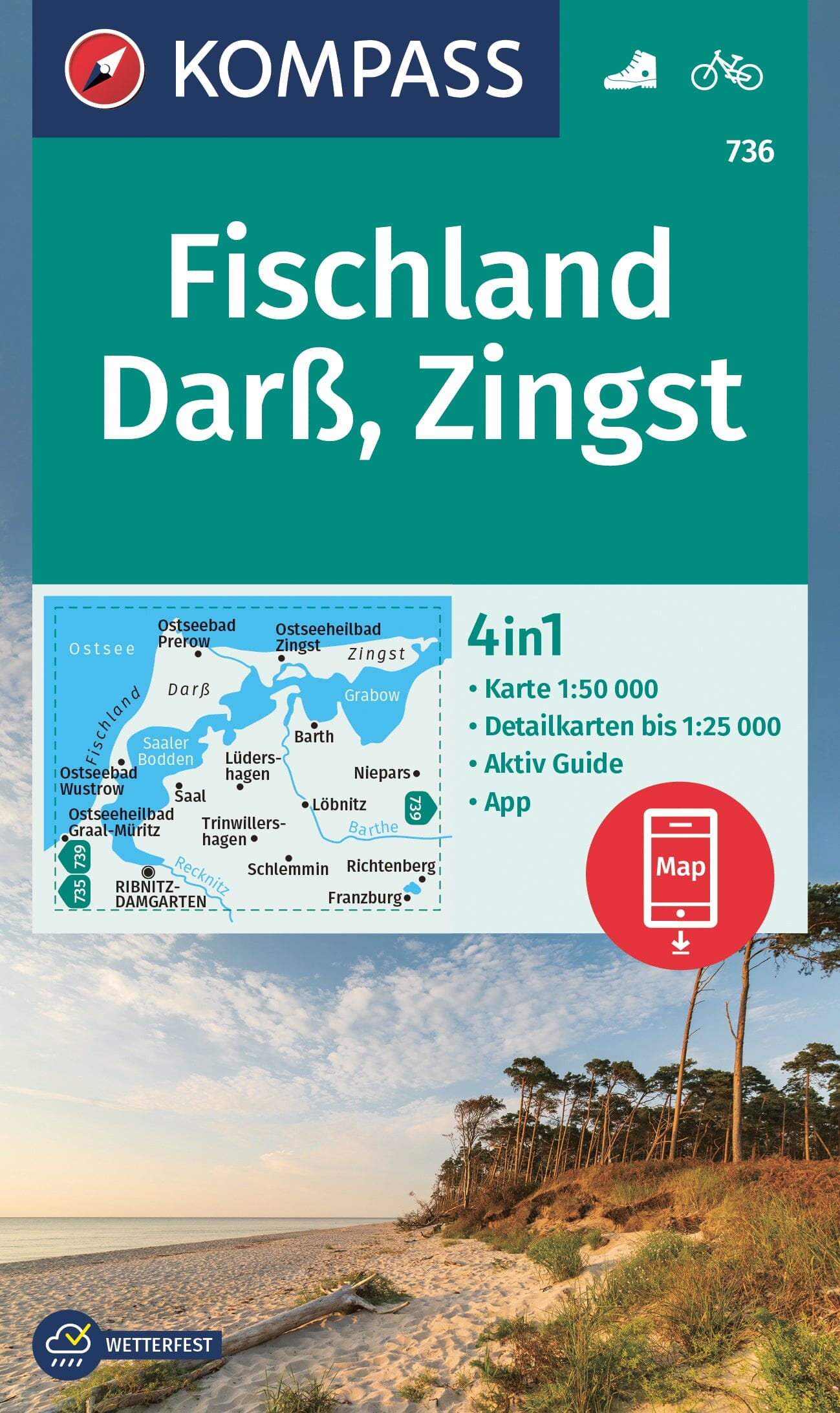
Hiking map of the Baltic Sea coast from Wismar to Usedom: an ideal map set for walking, cycling and many other outdoor activities.

Kompass hiking map sets cover an entire region across several maps. Easy to read, they contain the information needed for a successful walk, cycle ride or excursion, depicting the landscape at an appropriate scale. The cartographic team continually reviews and expands the additional information. The precise mapping includes all official hiking trails with names and numbers, including long-distance paths, cycle routes and trails, via ferrata routes, inns and mountain huts, car parks, buses and trains, ski touring and cross-country ski routes, springs, swimming spots and more.

The maps are ideal for discovering destinations, planning outings and navigating. Vegetation, contour lines, rock drawings and mountain shading provide an intuitive portrayal of the landscape.

Features of the Baltic Sea coast hiking map from Wismar to Usedom

  • 3 maps: extensive coverage across the hiking maps in the set - Scale 1:50,000: 1 cm represents 500 m on the ground - The map section can also be used offline in the Kompass hiking map app


ISBN/EAN : 9783991543824
Publication date: 2025
Scale: 1/50,000 (1cm=500m)
Folded dimensions: 11 x 19cm
Language(s): German
Weight: 244 g